What is recorded here
Situated on a slight rise in a gently undulating landscape. Aerial photograph (GB90.CA.02) shows the cropmark of an enclosure (int. diam. c. 40m) defined by two broadly concentric curving fosse features SSE-W-NE. It is also visible on aerial images from 1995 (OSAP). A NNE-SSW field drain, now removed, truncates the enclosure at E. It was first recorded as a positive cropmark in July 1990.
Date of upload: 31 August 2017
The monument record does not grant public access. Check the route and ask the landowner before entering private land.
- What survives
- Recorded monument
Places near here
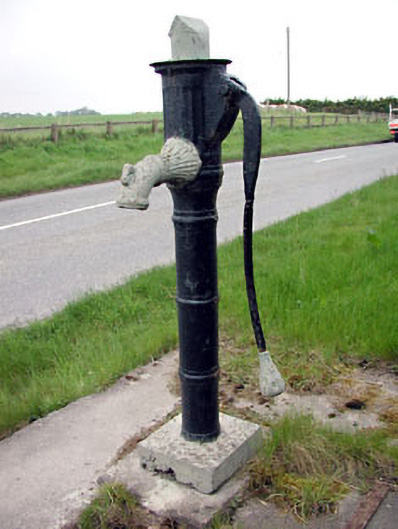 water pumpwater pump · 475 yd
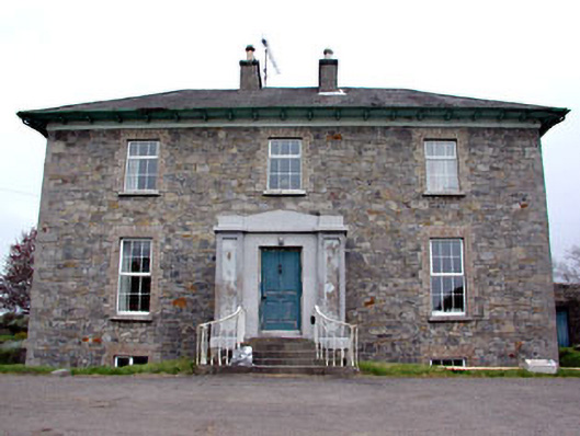 Newtown Parkhouse · 604 yd
 CastleCastle, motte · 881 yd
 Scurlogstown CastleArchaeological place · 994 yd
 CrossCross, High cross (present location) · 1320 yd
 Newtown AbbeyCathedral · 1405 yd
 Saints IslandForest · 2.9 mi
 Small-leaved ElmSmall-leaved Elm · 3.0 mi
 MullaghMountain / peak · 8.1 mi
 Kilgar GardensHeritage attraction · 8.4 mi
 Larchil Arcadian GardensHeritage attraction · 8.5 mi
 1798 MemorialMemorial · 8.9 mi