What is recorded here
No fairy fort in Gubbeen. That is a misreading. The facts name an earthen ringfort in County Cork, Ireland. A circular raised area, thirty-two metres across north to south and twenty-nine metres east to west, holds a one-metre bank and a shallow outer ditch. Stone facing still appears on the western outside, while old cultivation ridges cut through the interior. People shaped that ground for defense, residence or both, then left it open to pasture and memory.
In pasture, on W-facing slope. Roughly circular slightly raised area (32m N-S; 29m E-W) enclosed by earthen bank (H 1m); external fosse (D 0.9m) N->SSE. Bank stone faced on outside to W. Cultivation ridges cross interior N-S.
The above description is derived from the published 'Archaeological Inventory of County Cork. Volume 1: West Cork' (Dublin: Stationery Office, 1992). In certain instances the entries have been revised and updated in the light of recent research.
Date of upload/revision: 14 January 2009
The monument record does not grant public access. Check the route and ask the landowner before entering private land.
- What survives
- Recorded monument
Places near here
 Gubben Cottagehouse · 481 yd
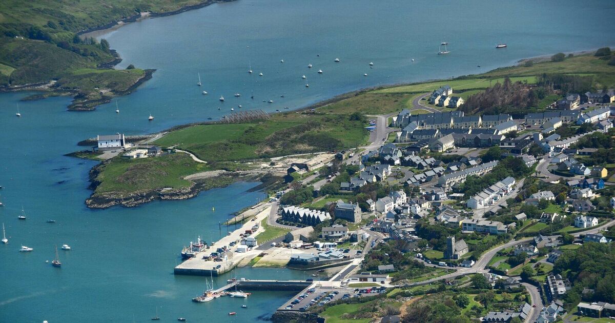 Fulacht fia in CaherluskyFulacht fia · 612 yd
 Country house in CroaghCountry house · 883 yd
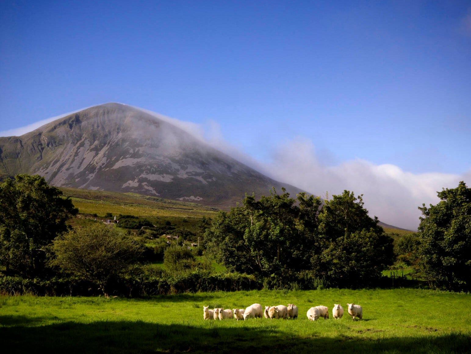 IndicatedEcclesiastical enclosure · 1379 yd
 Coney IslandIslet · 1733 yd
 Sailor's HillViewpoint · 1.1 mi
 Long IslandIsland · 1.5 mi
 Schull HarbourBay · 1.8 mi
 Castle (in Ruins)Castle, unclassified · 1.8 mi
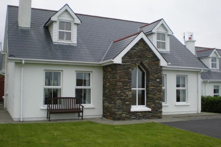 Schull "An Taisce"Visitor information · 2.0 mi
 Cadogan's StrandHeritage attraction · 2.0 mi
 Coosheen PointHeadland · 2.0 mi