What is recorded here
Half a circle of yellow earth still holds the southern edge of Granig, deep enough to drown a boot and wide enough to force two people past each other shoulder first. The northern half has vanished into pasture, leaving a gap large enough for a cart, a chariot or a fleeing person to disappear without breaking the rhythm of the field. What is missing has not stopped the place working; it has removed the part that could be measured, answered or owned.
In pasture. Depicted as hachured circular enclosure on 1842 OS 6-inch map. Semicircular arc (58m N-S) survives S->N, formed by earthen bank (H 0.8m) with external fosse (D 1.4m). Counterscarp bank to N, may be remains of levelled field fence.
The above description is derived from the published 'Archaeological Inventory of County Cork. Volume 2: East and South Cork' (Dublin: Stationery Office, 1994). In certain instances the entries have been revised and updated in the light of recent research.
Date of upload/revision: 14 January 2009
The monument record does not grant public access. Check the route and ask the landowner before entering private land.
- What survives
- Recorded monument
Places near here
 water pumpwater pump · 1179 yd
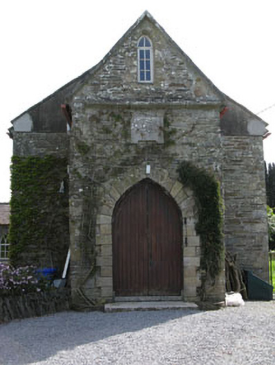 church/chapelchurch/chapel · 1268 yd
 IndicatedMilling complex · 1593 yd
 Kilpatrick WellHoly well · 1.0 mi
 Cullen Castle (Site of)Castle, unclassified · 3.0 mi
 St Laitiarain's WellSpring · 3.3 mi
 Castle (in Ruins)Castle, tower house · 3.5 mi
 Nohaval CoveBeach / strand · 3.8 mi
 Rocky BayBeach / strand · 3.9 mi
 Coolmore WoodWood · 4.0 mi
 New Foundland Bay viewViewpoint · 4.3 mi
 Creek Newfoundland BsyViewpoint · 4.4 mi