What is recorded here
Half-buried in a Laois field, the fort holds its shape like a breath caught mid-speech. A thin ring of earth and stone, no more than a hand’s breadth high, encloses a bare circular space wide enough for a dozen people to walk around twice. The shallow ditch outside has filled with soil and forgotten rain, yet the boundary remains clear enough to follow. Carrigan called it a caiseal in 1905, as if naming it would keep it company. Under the grass may lie a hearth, a door gap, or the shadow of someone who lived there before roads or records.
A circular area (diam. c. 25.4m) defined by a barely discernible earth and stone bank (Wth c. 2.3m, int. H c. 0.3m, ext. H c. 0.5m) and a shallow outer fosse (Wth c. 4.2m). Carrigan (1905, vol. 2, 282) refers to the site as a 'caiseal'.
The above description is derived from the published 'Archaeological Inventory of County Laois' (Dublin Stationery Office, 1995) compiled by P. David Sweetman, Olive Alcock and Bernie Moran. In certain instances the entries have been revised and updated in the light of recent research.
Date of upload: 17 December 2007
The monument record does not grant public access. Check the route and ask the landowner before entering private land.
- What survives
- Recorded monument
Places near here
 Enclosure in GraigueadrislyEnclosure · 801 yd
 Castle PierceHouse, fortified house · 1503 yd
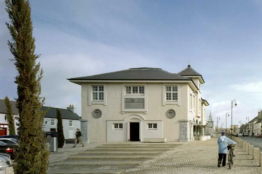 OutlinedEcclesiastical enclosure · 1.1 mi
 Cody's CastleCastle · 1.2 mi
 Erke Churchchurch/chapel · 1.3 mi
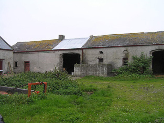 Bayswell Housefarmyard complex · 1.4 mi
 Cnoc SeanrathaMemorial · 1.7 mi
 Clonmeen WoodWood · 3.3 mi
 Tullow HillMountain / peak · 3.3 mi
 DelaneyMemorial · 4.5 mi
 Street fieldArchaeological place · 4.8 mi
 College HillMountain / peak · 8.9 mi