What is recorded here
Fairy fort / earthen ringfort in Gortnaleck: Marked 'Fort' on 1836 and 1876 eds. Situated on a low knoll adjacent to Gortnaleck Lough. Not visible at ground level.
Marked 'Fort' on 1836 and 1876 eds. Situated on a low knoll adjacent to Gortnaleck Lough. Not visible at ground level.
The above description is derived from the published 'Archaeological Inventory of County Cavan' (Dublin: Stationery Office, 1995). In certain instances the entries have been revised and updated in the light of recent research.
Date of upload/revision: 22 December 2008
A fairy fort or earthen ringfort in Gortnaleck is a circular earthwork likely dating to the early medieval period, used as a defensive or domestic site. Though not visible at ground level, it is marked on 19th-century maps and may be associated with local folklore regarding fairies or other supernatural beings.
The monument record does not grant public access. Check the route and ask the landowner before entering private land.
- What survives
- Recorded monument
Places near here
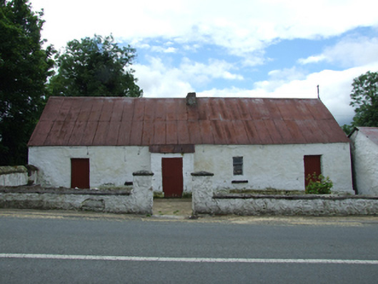 farm housefarm house · 998 yd
 Saint Patrick's Catholic Churchchurch/chapel · 1033 yd
 Giants GraveArchaeological place · 1127 yd
 Derryragh FortHilltop enclosure · 1249 yd
 Tober PatrickHoly well · 1351 yd
 Saint Mogue's IslandIslet · 1478 yd
 Common LimeCommon Lime · 1646 yd
 SycamoreSycamore · 1698 yd
 Killycluggin StoneVisitor information · 1.1 mi
 LissanoverCastle, unclassified · 1.1 mi
 IndicatedCastle, tower house · 1.5 mi
 Bellaheady MountainMountain / peak · 2.1 mi