What is recorded here
Thirty-five metres of exposed grass and a faint earthen ridge mark the highest point where the Rathlogan and Goul valleys meet. The fort faces north, south and west, but the east hides behind a small rise before dropping into river water. That broken view suggests the ring was built to watch the land yet conceal itself from one direction. A person standing inside would see far, feel watched back, and never know which way the hidden door opened.
At the junction of the S side of Rathlogan river valley and the E side of the Goul valley, at the highest point, in rolling grassland. There are very good views to the N, S and W. The view to the E is obscured by slightly rising land, but this then drops down into the river valley. A circular area (int. diam. c. 35m) enclosed by slight earthen bank (Wth 2m; int. H 0.8m; ext. H 1.15m) with external fosse (Wth 2m; D 0.1-0.2m). The interior is irregular but there are no clearly defined features.
The monument record does not grant public access. Check the route and ask the landowner before entering private land.
- What survives
- Recorded monument
Places near here
 farm housefarm house · 743 yd
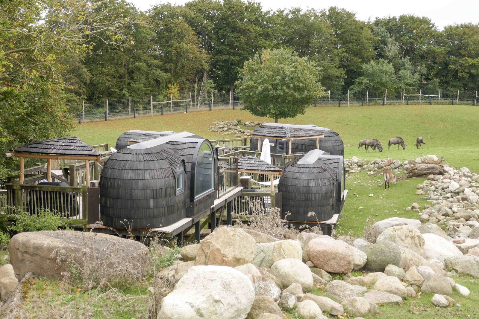 Enclosure in GlashareEnclosure · 750 yd
 Street fieldArchaeological place · 910 yd
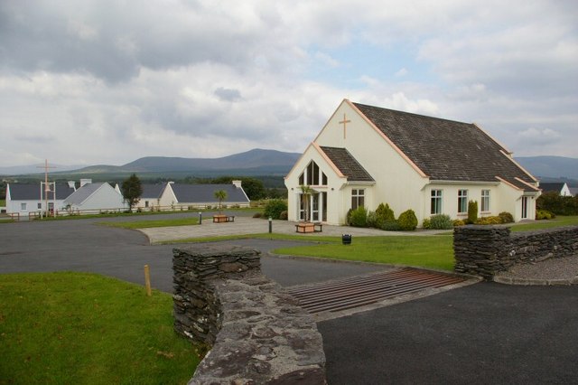 Church in GlashareChurch · 966 yd
 Glashare CastleCastle, tower house · 978 yd
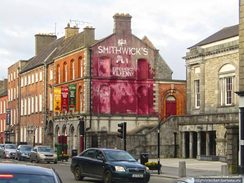 Glashare Ringfort (rath)Archaeological place · 1134 yd
 CastleCastle, unclassified · 1294 yd
 DelaneyMemorial · 2.6 mi
 John HelyMemorial · 2.6 mi
 Clomantagh HillMountain / peak · 2.8 mi
 The CopseWood · 6.0 mi
 Anker's IslandIsland · 7.2 mi