What is recorded here
Glasdrumman holds a twenty-eight metre circular fort where an earthen bank and shallow ditch still mark the boundary between human history and fairy speculation. The northern earthwork remains clear while field walls have chewed the rest, yet a causeway at the northeast break suggests people once entered with purpose rather than hesitation. Perhaps residents built the fort to keep out invaders or to keep out something older, because local minds still call such rings fairy forts when human memory fades.
Raised circular area (int. diam. 28.6m) enclosed by an earthen bank and a wide, shallow fosse, best preserved at N and much disturbed by field walls elsewhere. Break in bank with remains of causeway at NE may represent original entrance.
The above description is derived from the published 'Archaeological Inventory of County Cavan' (Dublin: Stationery Office, 1995). In certain instances the entries have been revised and updated in the light of recent research.
Date of upload/revision: 22 December 2008
The monument record does not grant public access. Check the route and ask the landowner before entering private land.
- What survives
- Recorded monument
Places near here
 Site of Old ChurchChurch · 485 yd
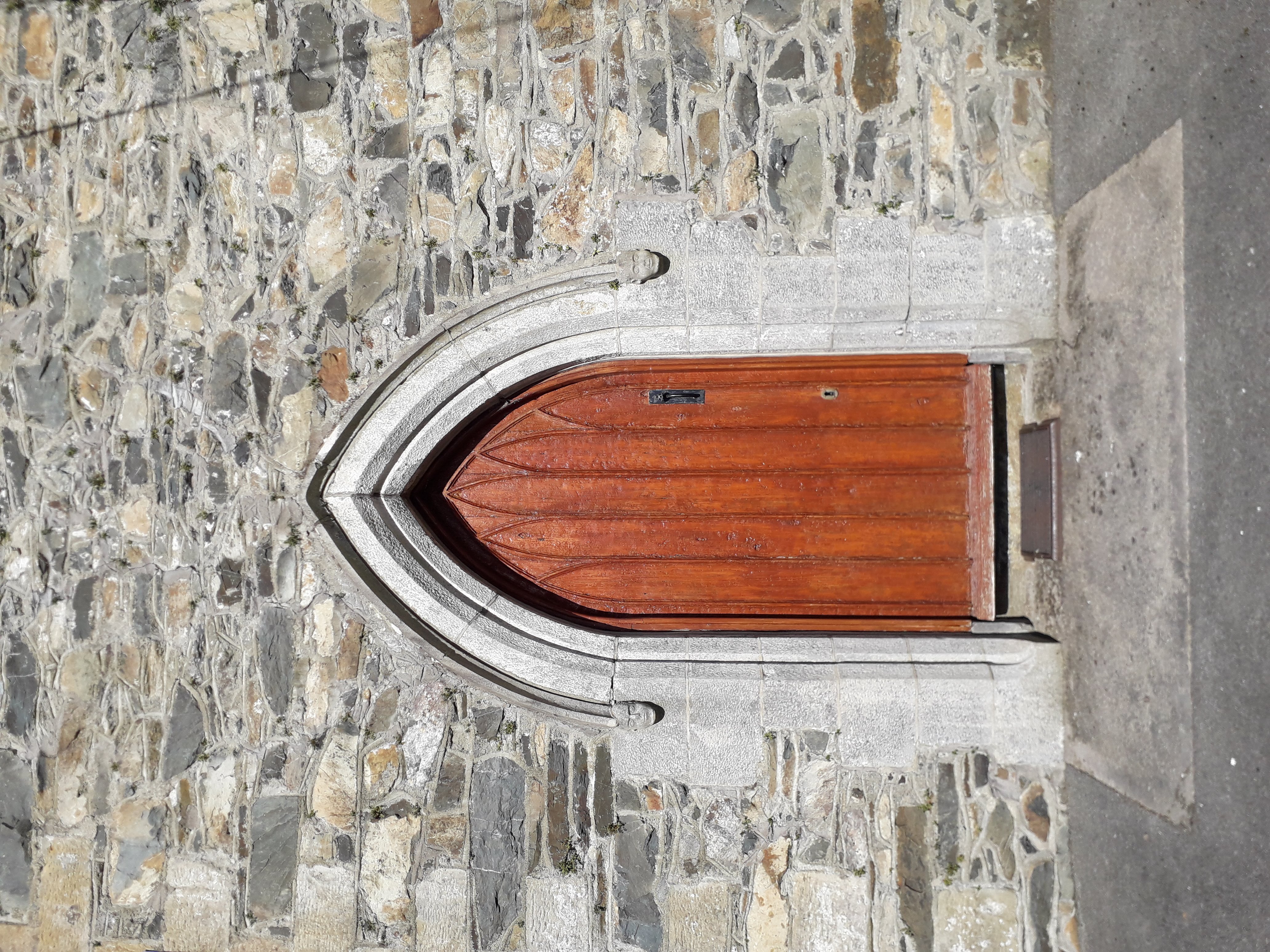 KilloughterWood · 644 yd
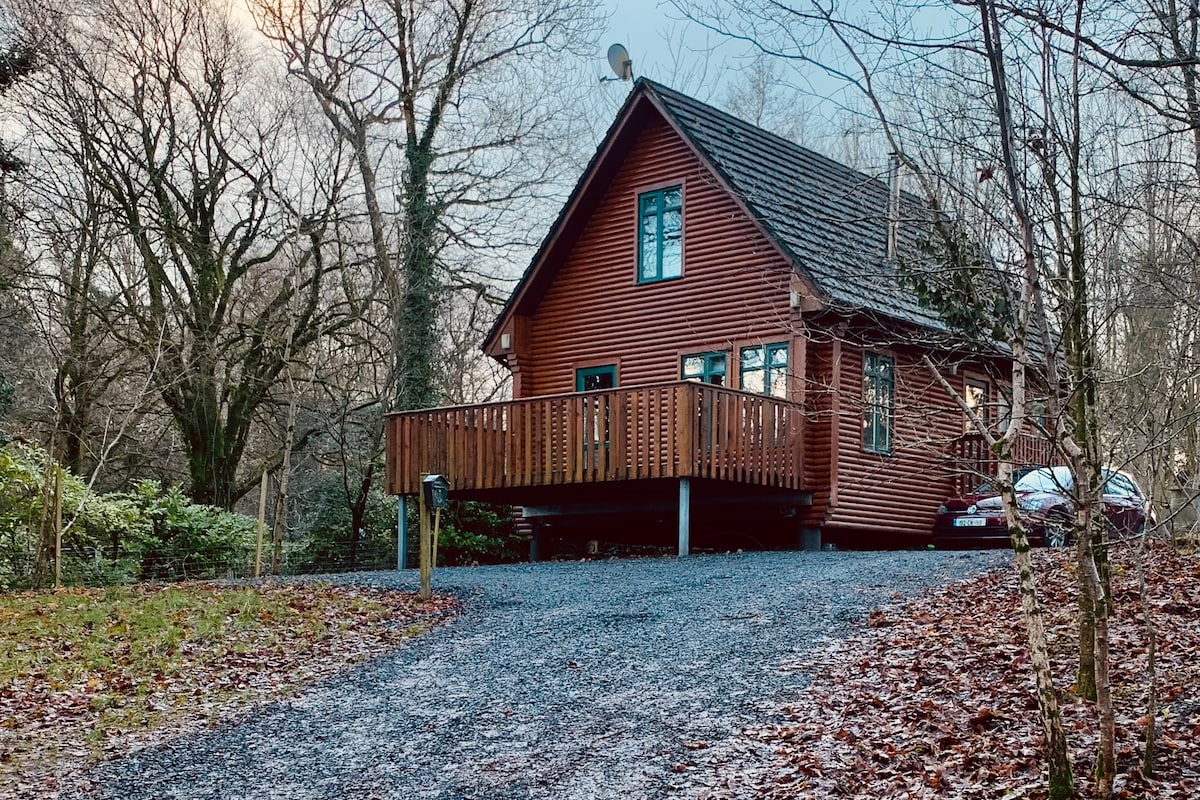 Shannow WoodForest · 992 yd
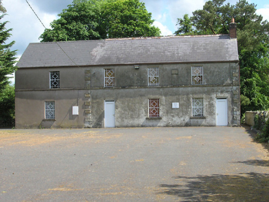 Redhills Parochial Hallchurch hall/parish hall · 1007 yd
 Killoughter Church of Ireland Churchchurch/chapel · 1047 yd
 Mass-rock in Shannow WoodMass-rock · 1085 yd
 DrumakeenanMountain / peak · 1.1 mi
 RuinsHouse, fortified house · 1.2 mi
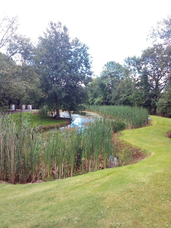 ClaraghMountain / peak · 1.3 mi
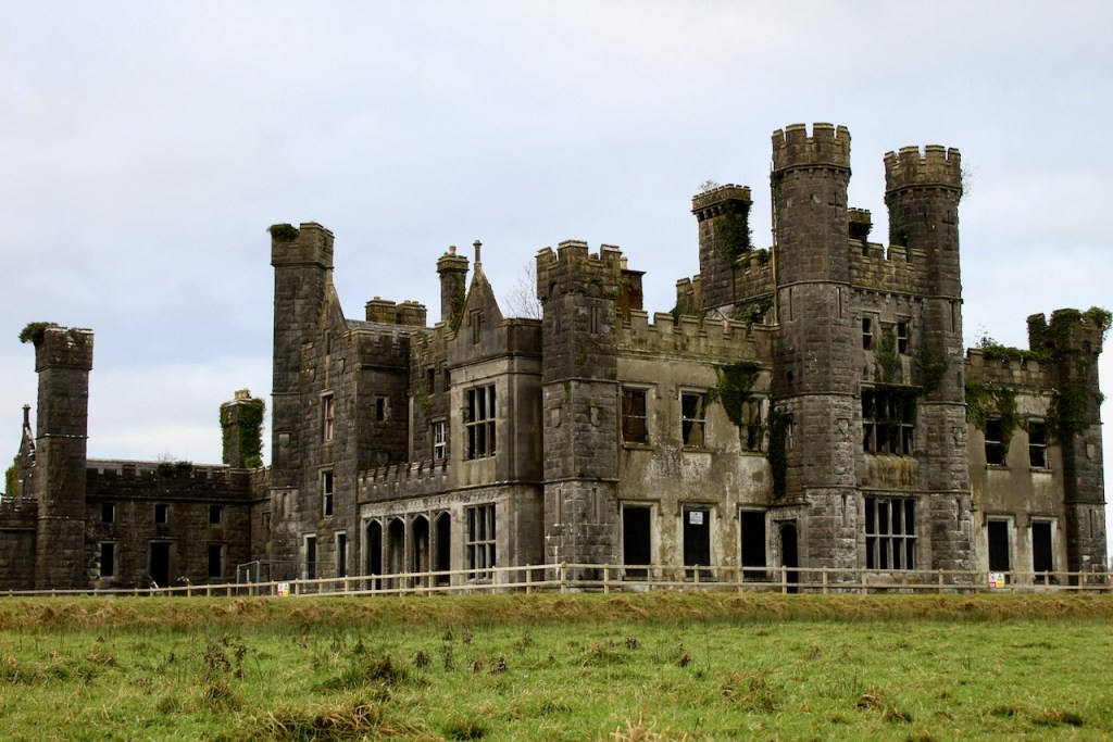 CastleCastle, unclassified · 2.1 mi
 Garden IsleIslet · 2.3 mi
 Annagh Lough BeachBeach / strand · 3.7 mi