What is recorded here
On the summit of a hill in undulating terrain. Monument not marked on either the 1st (1840) ed. or 1904-5 ed. OS 6-inch map. Ringfort identified as a result of the discovery of a Man-made underground passage (TS082-045002-) during the construction of the Cork-Dublin gas pipeline. Aerial photographs revealed the slight trace of a large circular enclosure (diam. c. 50m) surrounding the Man-made underground passage(Hurley 1987, 65).
Compiled by: Jean Farrelly
Date of upload: 04 February 2014
A fairy fort or earthen ringfort on the summit of a hill in Garryntemple, likely dating to the early medieval period, associated with local folklore of fairy activity and otherworldly beings. The monument was identified through the discovery of a man-made underground passage, suggesting possible ritual or defensive use.
The monument record does not grant public access. Check the route and ask the landowner before entering private land.
- What survives
- Recorded monument
Places near here
 Man-made underground passage in GarryntempleMan-made underground passage · 15 yd
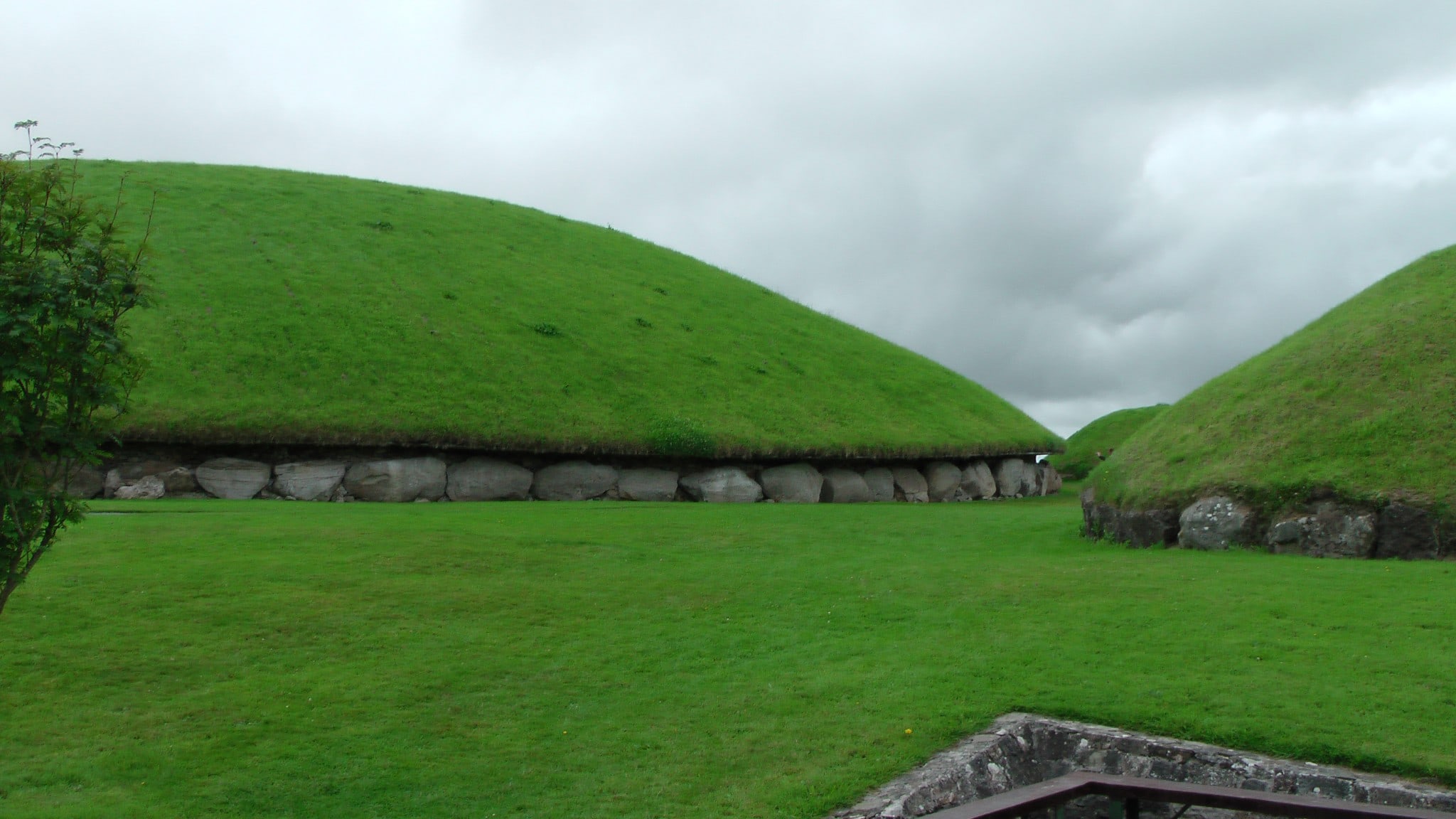 Enclosure in MonksgrangeEnclosure · 380 yd
 Nicholastown Castle (in ruins)Castle, tower house · 1283 yd
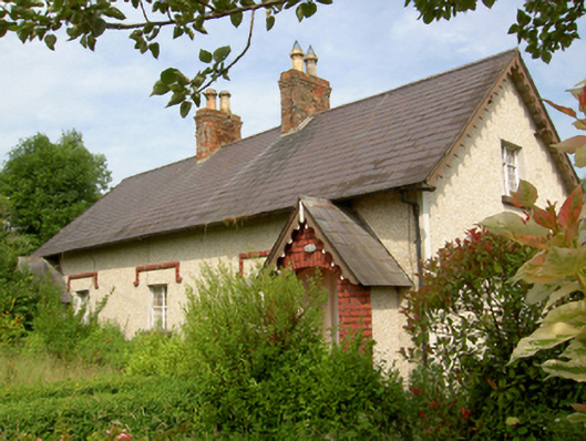 worker's houseworker's house · 1.2 mi
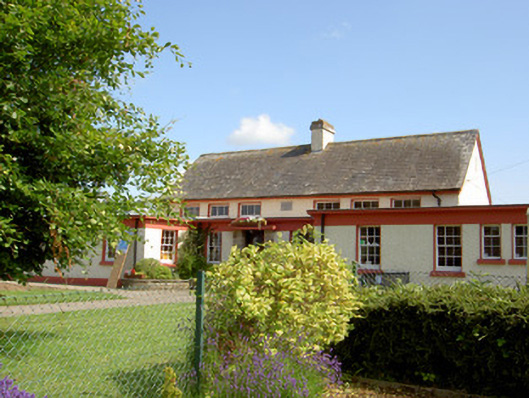 Grange National Schoolschool · 1.3 mi
 DeerparkWood · 1.3 mi
 Marlfield Forest Recreation AreaWood · 1.4 mi
 CastleCastle, ringwork · 1.9 mi
 Woodcock HillMountain / peak · 4.0 mi
 Grubb's IslandIslet · 4.4 mi
 Streches IslandIsland · 4.4 mi
 Francis HopkinsMemorial · 4.5 mi