What is recorded here
Magic and myth are woven through the history of this place. A roughly circular rath sits on a hillock beneath Esk Mountain, marked by a tall scarp, outer bank and southeast entrance. An underground passage lies just south of the centre, inviting wonder about who dug it and what they hid beneath the Kerry earth.
In pasture, on a hillock, on the lower N-facing slopes of Esk Mountain. A roughly circular area (23m N-S; 20m E-W) defined by a scarp (H 3.6m). An intervening fosse (Wth 3m) and an outer bank (int. H 0.3m; ext. H 4.6m) are visible W-NE. There is an entrance (Wth 3m) at SE. A Man-made underground passage (KE102-070001-) is located just S of the centre of the rath.
The above description is derived from the published 'Archaeological Inventory of County Kerry. Volume I: South-West Kerry' (Dublin: Stationery Office, 2009). In certain instances the entries have been revised and updated in the light of recent research.
Date of upload: 30 May 2011
The monument record does not grant public access. Check the route and ask the landowner before entering private land.
- What survives
- Recorded monument
Places near here
 Molly Gallivan's Cottage & Traditional FarmMuseum · 1088 yd
 Barraboy MountainMountain / peak · 1608 yd
 IndicatedFairy fort / earthen ringfort · 1614 yd
 SheepfoldHut site · 1.1 mi
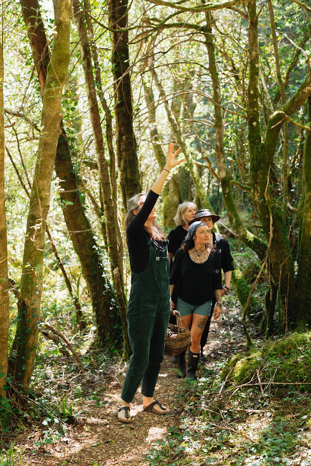 Esk MountainMountain / peak · 1.1 mi
 Dromagorteen Br.Bridge · 2.1 mi
 CrannogHeritage attraction · 2.3 mi
 KilnKiln, lime · 2.4 mi
 The Priests LeapViewpoint · 3.4 mi
 Tasmanian bluegumTasmanian bluegum · 3.4 mi
 Glengarriff WoodsWood · 3.6 mi
 Lady Bantry's LookoutViewpoint · 3.6 mi