What is recorded here
Flattery and fairy tales aside, this is a ringfort: a circular home or stronghold marked by an earthen bank, scarp and fosse on a south-facing slope in Garranefeen. It is the kind of place where people lived, worked and defended what they valued before the name became a joke. The measurements sound small only because they belong to the ground instead of a stage.
In pasture, on S-facing slope. Circular area (38m N-S; 39m E-W) enclosed by earthen bank (H 0.9m) WNW->ESE; scarp (H 1.5m) ESE->WNW; with external fosse (D 0.8m) to S and W.
The above description is derived from the published 'Archaeological Inventory of County Cork. Volume 1: West Cork' (Dublin: Stationery Office, 1992). In certain instances the entries have been revised and updated in the light of recent research.
Date of upload/revision: 14 January 2009
The monument record does not grant public access. Check the route and ask the landowner before entering private land.
- What survives
- Recorded monument
Places near here
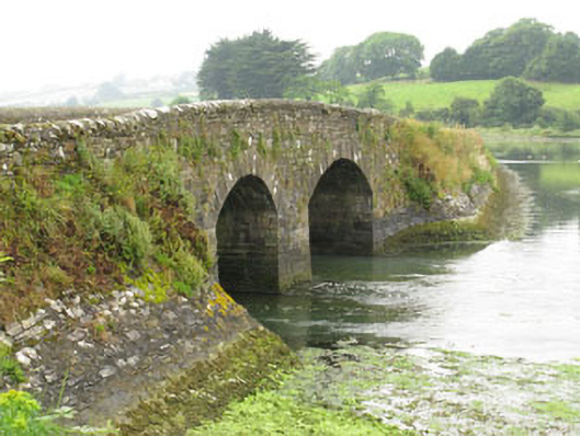 bridgebridge · 1090 yd
 Kilbrittain WoodWood · 1116 yd
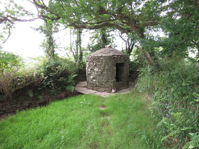 Trinity WellSpring · 1232 yd
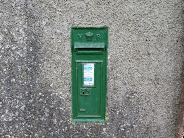 post boxpost box · 1235 yd
 Garranefeen StrandBeach / strand · 1342 yd
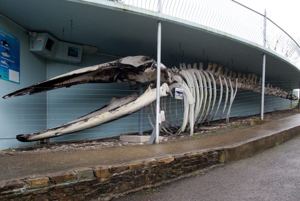 Kilbrittain WhaleHeritage attraction · 1365 yd
 Quay WoodWood · 1413 yd
 Burial ground in ArdacrowBurial ground · 1509 yd
 TobernasoolHoly well · 1.1 mi
 Flaxfort StrandBeach / strand · 1.1 mi
 Castle (in Ruins)Castle, tower house · 1.7 mi
 CourtCastle, unclassified · 2.1 mi