What is recorded here
On E side of Coolmain Bay. According to Fuller (1907, 17) 'old square tower, 32 feet by 28 feet, and about 20 feet in height' was incorporated into house which was abondoned c. 1870. The house has since been demolished and no visible trace of tower. A castle of the Mac Carthy Riabhach clan (Ó Murchadha 1985, 54).
From the National Monuments Service (Archaeological Survey of Ireland) record CO124-043
This remains an important historical record, but the official description says the monument is no longer visible or has been destroyed. The monument record does not grant public access. Check the route and ask the landowner before entering private land.
- What survives
- No visible remains or recorded as destroyed
Places near here
Photo credits
- Garry Dickinson, Geograph · Creative Commons Attribution-ShareAlike 2.0
- National Inventory of Architectural Heritage
- Mac McCarron, Geograph · CC BY-SA 2.0
- John M, Geograph · CC BY-SA 2.0
- Draceane, Wikimedia Commons · CC BY-SA 4.0
- Jean-Pol GRANDMONT, Wikimedia Commons · CC BY 3.0
- Hywel Williams, Geograph · CC BY-SA 2.0
- Jonathan Thacker, Geograph · Creative Commons Attribution-ShareAlike 2.0
- Wikipedian231, Wikimedia Commons · CC0
- Garry Dickinson, Geograph · CC BY-SA 2.0
 Coolmain CastleCastle/fortified house · 573 yd
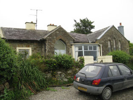 church/chapel944 yd
 Garranefeen StrandBeach / strand · 1741 yd
 Flaxfort StrandBeach / strand · 1.6 mi
 Chilean myrtle1.8 mi
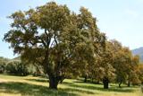 Cork oak1.8 mi
 Trinity WellSpring · 2.0 mi
 Grave YardGraveyard · 3.0 mi
 The Moving StatueHeritage attraction · 3.7 mi
 White StrandBeach / strand · 4.0 mi
 Timoleague CastleCastle, tower house · 4.4 mi
 Graveyard4.4 mi
More castles and forts in County Cork · All of County Cork
What do you know about this place?