What is recorded here
On the NW-facing slope of a drumlin. Circular overgrown area (diam. 35m) defined by a gapped earthen bank (Wth 4.3m at E to 5.55m at S; int. H 0.1m generally to 0.75m at S; ext. H 1.1-1.5m) and an outer fosse (Wth of top 4-5.8m; D 0.5-1.05m), with a slight outer bank (Wth 2-3m; H 0.2-0.4m) at NW. The original entrance (Wth 3m) and stone-lined causeway are at E. Rath (RO007-030----) is c. 190m to the SSW.
Compiled by: Michael Moore
Date of upload: 24 August 2010
The monument record does not grant public access. Check the route and ask the landowner before entering private land.
- What survives
- Recorded monument
Places near here
 Embanked enclosureFairy fort / earthen ringfort · 267 yd
 Embanked enclousreFairy fort / earthen ringfort · 430 yd
 Cootehall Bridgebridge · 1056 yd
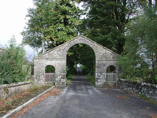 The Bawndemesne walls/gates/railings · 1073 yd
 IndicatedBawn · 1185 yd
 Hughestown WoodForest · 1.3 mi
 Battle of Áth an Chipbattle · 3.0 mi
 PortCastle, unclassified · 3.0 mi
 Moon RiverHeritage attraction · 3.3 mi
 InishnagonIsland · 3.4 mi
 Shannon-Erne WaterwayVisitor information · 3.5 mi
 Horse-chestnutHorse-chestnut · 3.6 mi