What is recorded here
On a broad flat-topped ridge in grassland. There are good views in all directions. An oval area (max. dims. c. 55m NE-SW; c. 45m NW-SE) bounded by low, wide stony flat-topped bank (Wth at top 1m; overall Wth 5m; int. H 1m; ext. H 1.5m) and shallow external fosse (Wth 2.5m; D 0.3-0.4m). There is a large, modern entrance at the S. The interior has been divided in two by a stony bank (Wth c. 1m; H above N side 0.2m; H above S side 0.5m) running E-W. The N half of interior is 0.3m higher than the S half. There are footings (T 0.4m) of a stone structure (dims. 6m N-S; 3m E-W), possibly modern, abut the internal bank in the W quadrant, S of the dividing bank. The monument is heavily overgrown with trees and scrub.
Compiled by: Jean Farrelly
Date of upload: 12 June 2019
The monument record does not grant public access. Check the route and ask the landowner before entering private land.
- What survives
- Recorded monument
Places near here
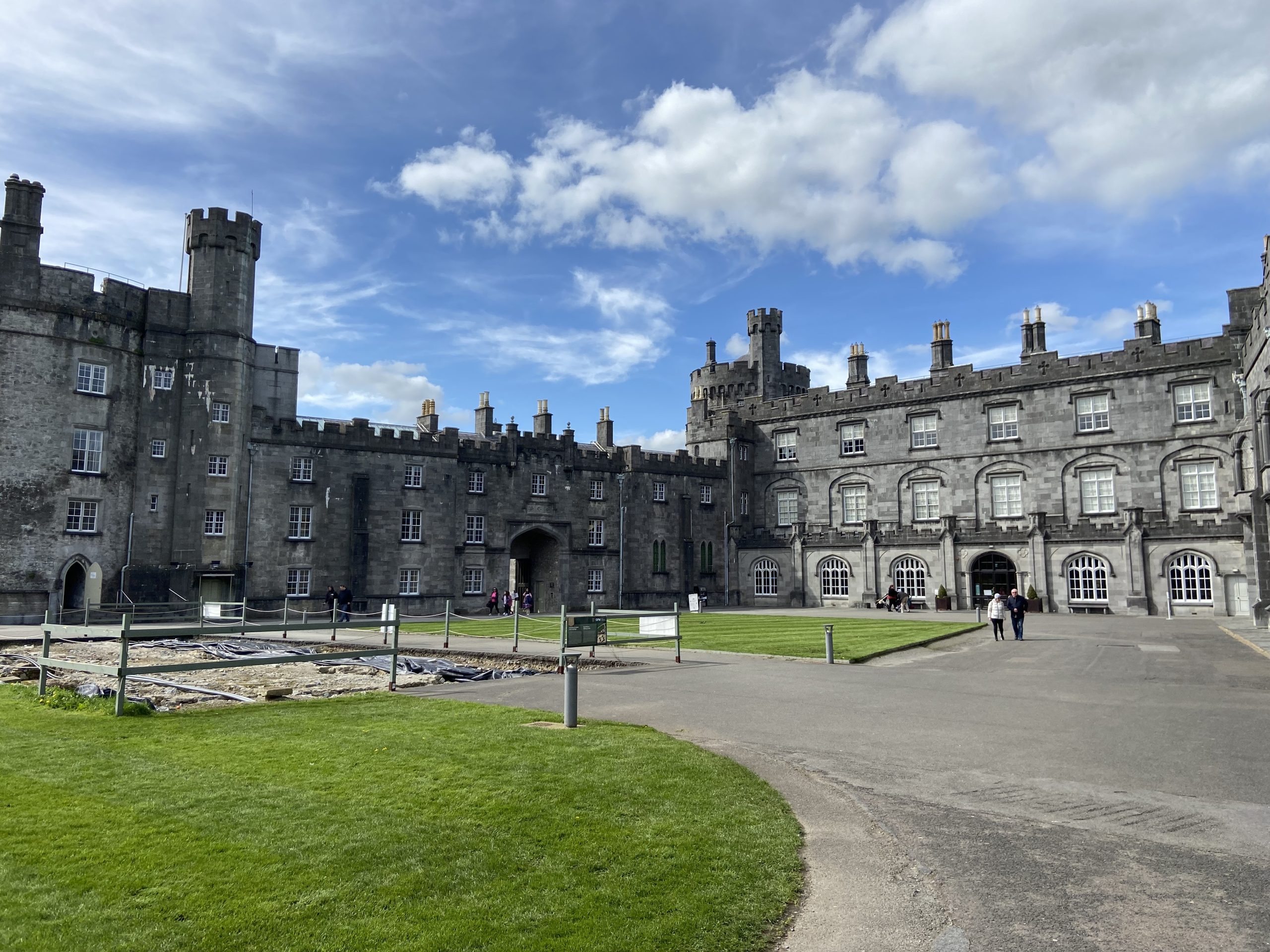 Forekill Ringfort (rath)Archaeological place · 1 yd
 Forekill RingfortArchaeological place · 464 yd
 Saint Patrick's Catholic Churchgraveyard/cemetery · 692 yd
 Church in WoodsgiftChurch · 956 yd
 CastleCastle, ringwork · 1739 yd
 Kildrinagh WoodForest · 1.6 mi
 Black CastleCastle, hall-house · 2.0 mi
 KilcooleyForest · 2.5 mi
 Clomantagh HillMountain / peak · 2.7 mi
 John HelyMemorial · 3.4 mi
 DelaneyMemorial · 3.5 mi
 Bregaun HillMountain / peak · 4.6 mi