What is recorded here
Fairy fort in Farran, County Cork: a 42-by-44 m earthen ring, bank 2.3 m high, with a shallow western fosse and a two-metre northern gap. The inner ground rises on the west to level the sloping field, suggesting people shaped the hill rather than merely marking it. Now in tillage, it keeps its circle beneath ordinary farm life, inviting wonder about who entered through that small gap and what they valued enough to carry earth upward.
In tillage, on W-facing slope. Circular area (42m N-S; 44m E-W) enclosed by earthen bank (H 2.3m) with external fosse (D 0.6m) to W. Gap in bank to NNE (Wth 2m). Interior raised on W side to compensate for hillslope.
The above description is derived from the published 'Archaeological Inventory of County Cork. Volume 1: West Cork' (Dublin: Stationery Office, 1992). In certain instances the entries have been revised and updated in the light of recent research.
Date of upload/revision: 14 January 2009
The monument record does not grant public access. Check the route and ask the landowner before entering private land.
- What survives
- Recorded monument
Places near here
 Man-made underground passage in Farran (carbery East (e.d.) By.)Man-made underground passage · 237 yd
 Skeaf West Househouse · 1474 yd
 MaullaghseefinBarrow, mound barrow · 1542 yd
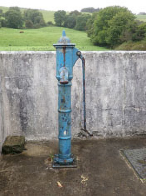 water pumpwater pump · 1664 yd
 Monteen Castle (in Ruins)Castle, tower house · 1.3 mi
 English hollyEnglish holly · 1.4 mi
 Graveyard in KilmalodaGraveyard · 1.4 mi
 Burrane Castle (Site of)Castle, unclassified · 2.2 mi
 Argideen Valley trailVisitor information · 2.3 mi
 Johnny Sheila MurphyMemorial · 2.3 mi
 Argideen Loop WalksVisitor information · 2.4 mi
 Tobar MacloonaboySpring · 3.1 mi