What is recorded here
Towards the bottom of a gentle S-facing slope. Oval grass-covered area (dims 34.4m N-S; 27m E-W) defined by an overgrown earthen bank (Wth 2.7-4.3m; int. H 0.2-0.5m; ext. H 0.6-1.3m), which is reduced to a scarp (H c. 0.6m) S-SW, and a complete outer fosse (Wth of top 4.7-6.3m; Wth of base 3-3.2m; D 0.2-0.4m). The site is bisected by a NNE-SSW field wall with a farm track E of this which has created entrance gaps (Wth 2m) at N and S, but an original entrance is not identified. Man-made underground passage (RO020-011002-) is inside the perimeter at S. The W part is preserved, unplanted, in a coniferous forest (Bing c. 2013).
Compiled by: Michael Moore
Date of upload: 24 August 2010
The monument record does not grant public access. Check the route and ask the landowner before entering private land.
- What survives
- Recorded monument
Places near here
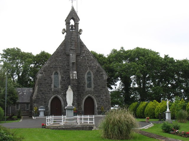 Catholic Church of the Sacred Heartchurch/chapel · 1099 yd
 Kilcooley Church (Site of)Church · 1399 yd
 Ecclesiastical enclosure in CurreentorpanEcclesiastical enclosure · 1411 yd
 Penitential station in Stonepark (frenchpark By., Fairymount Ed)Penitential station · 1448 yd
 Fairymount HillMountain / peak · 1643 yd
 Druminagh WoodForest · 1.0 mi
 TowerCastle, tower house · 2.9 mi
 Clonalis HouseMuseum · 3.5 mi
 CastleCastle, unclassified · 3.9 mi
 Workhouse MemorialMemorial · 4.7 mi
 Silver IslandIslet · 4.7 mi
 Square WoodForest · 5.4 mi