What is recorded here
That is a subcircular rath, twenty-seven metres north to south and twenty-four metres east to west, still standing in grassland within the former Dunmore Demesne. A bank marks its southwest and west edge while a tree-lined scarp completes the rest, suggesting the fort was later reused as a landscape feature rather than abandoned. People may have walked its rim, watched the demesne from it, or simply passed it as a familiar shape in the field.
In grassland within the former Dunmore Demesne. Subcircular rath (N-S 27.2m, E-W 24m), in fair condition, defined by a bank from SW to W, and by a tree-lined scarp elsewhere. Evidence suggests that the monument was a rath reused as a landscape feature.
The above description is derived from the published 'Archaeological Inventory of County Galway Vol. II - North Galway'. Compiled by Olive Alcock, Kathy de hÓra and Paul Gosling (Dublin: Stationery Office, 1999).
Date of upload: 05 August 2010
The monument record does not grant public access. Check the route and ask the landowner before entering private land.
- What survives
- Recorded monument
Places near here
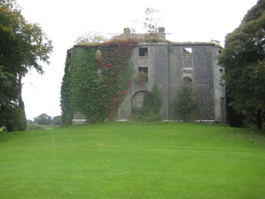 Dunmore Housecountry house · 47 yd
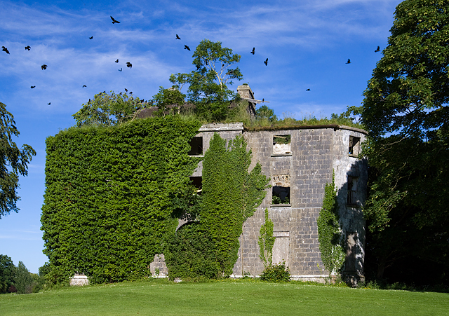 Country house in Dunmore DemesneCountry house · 53 yd
 IndicatedEnclosure · 127 yd
 Cross in DunmoreCross · 373 yd
 Dunmore CastleCastle · 1302 yd
 Site of Doonbally CastleCastle, unclassified · 3.7 mi
 Slieve DartMountain / peak · 4.0 mi
 European ashEuropean ash · 8.0 mi
 Mass RockNamed rock · 9.9 mi
 KnockmaaWood · 13 mi
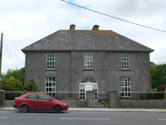 Merton Housepresbytery/parochial/curate's house · 292 yd
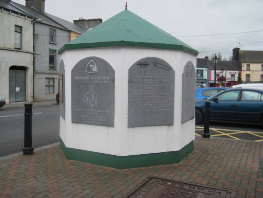 weighbridge/weighhouseweighbridge/weighhouse · 359 yd