What is recorded here
Henegen's Fort stands on a Galway hillock, its oval earthworks reduced to a faint scarp and broken bank. The eastern gap may mark the original entrance, inviting rather than blocking. A second ringfort waits three hundred metres east, suggesting a small cluster of lives rather than a lonely shelter.
On a prominent hillock in grassland. Known locally as 'Henegen's Fort' (Neary 1914, 113, no. 124), this poorly preserved oval rath (E-W 38.5m, N-S 24m) is defined by an inner scarp, intervening fosse and outer bank. The fosse survives from W through N to NE, and the outer bank from W to N. A gap at E may be original. A ringfort (GA017-084----) lies c. 300m to E.
The above description is derived from the published 'Archaeological Inventory of County Galway Vol. II - North Galway'. Compiled by Olive Alcock, Kathy de hÓra and Paul Gosling (Dublin: Stationery Office, 1999).
Date of upload: 05 August 2010
The monument record does not grant public access. Check the route and ask the landowner before entering private land.
- What survives
- Recorded monument
Places near here
 IndicatedEnclosure · 457 yd
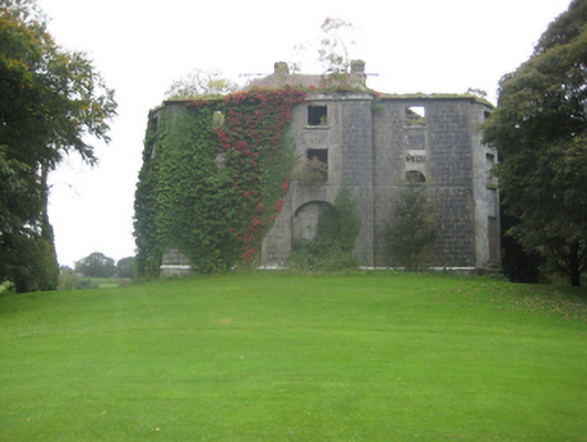 Dunmore Housecountry house · 631 yd
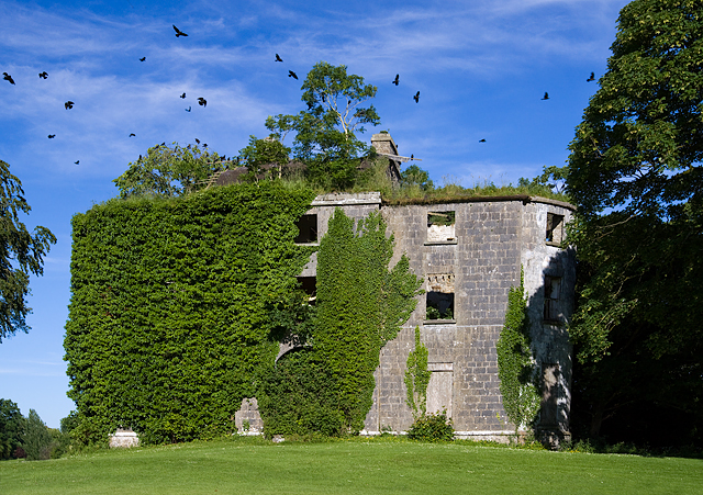 Country house in Dunmore DemesneCountry house · 637 yd
 Cross in DunmoreCross · 924 yd
 Dunmore CastleCastle · 1572 yd
 Site of Doonbally CastleCastle, unclassified · 3.4 mi
 Slieve DartMountain / peak · 4.4 mi
 European ashEuropean ash · 7.7 mi
 Mass RockNamed rock · 9.5 mi
 SycamoreSycamore · 13 mi
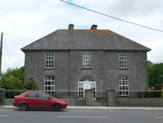 Merton Housepresbytery/parochial/curate's house · 827 yd
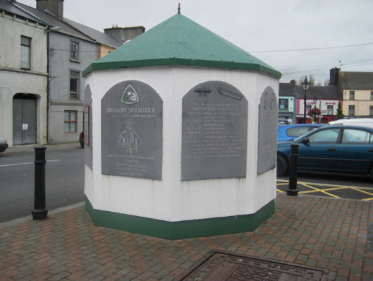 weighbridge/weighhouseweighbridge/weighhouse · 926 yd