What is recorded here
Marianne and her children built a small kitchen garden inside the ancient fort. They planted beans, marjoram and carrots in soil that had accepted human labour for centuries. The fort did not resist them. It waited for them to understand that memory and mercy are not the same thing.
Located at the base of a rise in a low-lying landscape. This is an overgrown oval area (dims 23.5m N-S; 33m E-W; int. dims 21m E-W; 17.5m N-S) defined by an earthen bank best preserved at S (Wth 4.5m; int. H 0.8m; ext. H 1.7m), and an external fosse (Wth of top 7.5-8.5m; Wth of base 1.7m at N to 4m at S; D 0.4m at N to 09m at S). The entrance (Wth 3.5m) and causeway (Wth 2.8m) are at SE.
The above description is derived from 'The Archaeological Inventory of County Leitrim' compiled by Michael J. Moore (Dublin: Stationery Office, 2003). In certain instances the entries have been revised and updated in the light of recent research.
Date of upload: 23 September 2008
The monument record does not grant public access. Check the route and ask the landowner before entering private land.
- What survives
- Recorded monument
Places near here
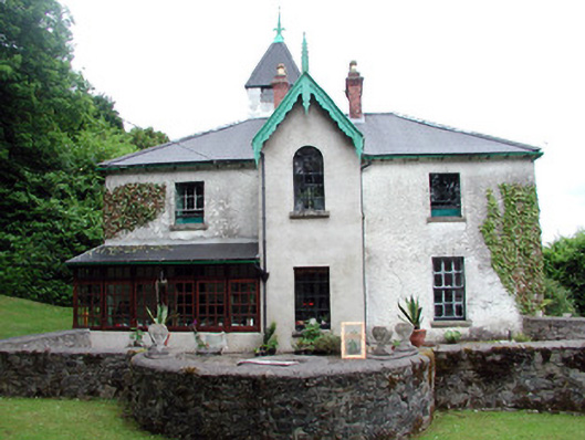 Lawderdale Housecountry house · 1113 yd
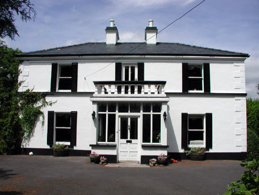 Curranmount Househouse · 1691 yd
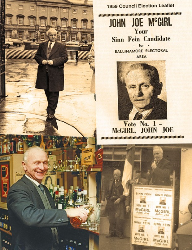 John Joe McGirlMonument · 1.0 mi
 Knockmullin FortFairy fort / earthen ringfort · 1.0 mi
 Buck IslandIsland · 2.5 mi
 DrumbadMountain / peak · 2.5 mi
 Turf IslandIsland · 2.6 mi
 CastleCastle, tower house · 3.2 mi
 Cromlin Bridge WoodWood · 3.5 mi
 DrumgownaghMountain / peak · 3.8 mi
 CastleforeCastle, tower house · 3.9 mi
 Swan Island pet farmHeritage attraction · 4.0 mi