What is recorded here
Mnemo opened the first chamber and dropped the light bar. The cave returned fire. Red marks climbed the wall, not drawn but remembered, and they showed the cave in places where no map existed. She stopped fighting the camera. She watched it learn. The chamber had corners she could not see, but the lens could. The chamber had a shadow that moved when she stopped watching. The chamber had a door that opened only for cameras. The chamber had a name the lens could read but she could not. She left the camera behind. She came back for it at midnight. The chamber gave it back changed. The chamber kept the part it liked. The chamber wanted to be seen.
On a SW-facing slope, in improved pasture with reasonable views of a gently undulating landscape in all directions, except inhibited by forestry S-SW. Depicted on all OS historic mapping as an oval enclosure (c. 37m N-S; c. 33m E-W). An oval area (38m NE-SW; 28m NW-SE) defined by the extant arc of an earthen bank (int. H 0.7m; ext. H 2.0m; Wth at top 0.5m; overall Wth 4.45m) SW-N and the traceable remains of a levelled bank (int. H 0.3m; ext. H 0.15m; Wth 8.5m) N-ENE. The levelled bank is vaguely traceable ENE-SW, although this is difficult to see. The remains of a potential fosse (Wth 1.5m; D 0.3m) are present SW-N, although this has been recut as a drain in modern times. There are vague traces of a backfilled fosse where the bank has been levelled out N-SW. The interior is clear of vegetation and has a distinct SW-facing slope, corresponding to the prevailing slope. Leyland cypress trees are planted close together on top of the extant bank SW-N. Railway sleepers are inserted into the bank and clad with modern corrugated sheeting assumed to act as a windbreak. A post and barbed-wire fence forms a chord (long-axis NE-SW) across the western sector, where furze bushes grow between this and the base of the bank.
The following images have been uploaded:
CL027-032----_01.jpg From NW. Context view of ringfort.
CL027-032----_02.jpg From SSE. Slightly oblique cross-section view of bank exterior and fosse at SW.
CL027-032----_03.jpg From NE. View across monument.
Compiled by: Mary Tunney, Alison McQueen and Vera Rahilly
Date of upload: 11 December 2018
The monument record does not grant public access. Check the route and ask the landowner before entering private land.
- What survives
- Recorded monument
Places near here
 St Mochullas Ch (in RuinsChurch · 1345 yd
 Grave YardGraveyard · 1362 yd
 Tulla Castle (Site of)Castle, unclassified · 1364 yd
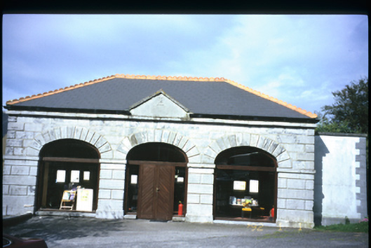 Tulla Librarymarket house · 1412 yd
 IndicatedCastle, tower house · 1637 yd
 Enclosure in Tulla (tulla Upper By.),bunavoryEnclosure · 1654 yd
 The StablesGallery · 1678 yd
 Cloghleagh RockNamed rock · 3.8 mi
 The RingfortHeritage attraction · 5.0 mi
 Derrymore WoodWood · 5.1 mi
 Deerpark WoodForest · 5.9 mi
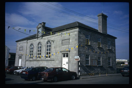 Tulla Courthousecourt house · 1415 yd