What is recorded here
On a gentle SE-facing slope in pasture. A report in 1976 (SMR file) noted that this raised subcircular area (c. 44m N-S; c. 38m E-W) was enclosed by a bank of earth and stone, a fosse and a low outer bank. It is defined by a scarp (H 1m) at the base of which, from NW-N-SE, is a shallow external fosse (Wth 2m; D 0.2-0.4m). The outer bank has since been levelled. The original entrance is not recognisable.
Compiled by: Patrick F. O'Donovan
Date of upload: 11 January 2012
The monument record does not grant public access. Check the route and ask the landowner before entering private land.
- What survives
- Recorded monument
Places near here
 Font in DrumingFont · 645 yd
 Druming Ho. (in ruins)Castle, unclassified · 669 yd
 FortsFairy fort / earthen ringfort · 860 yd
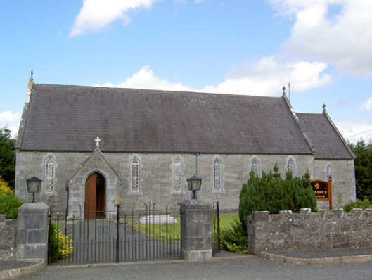 Saint Anne's Catholic Churchchurch/chapel · 993 yd
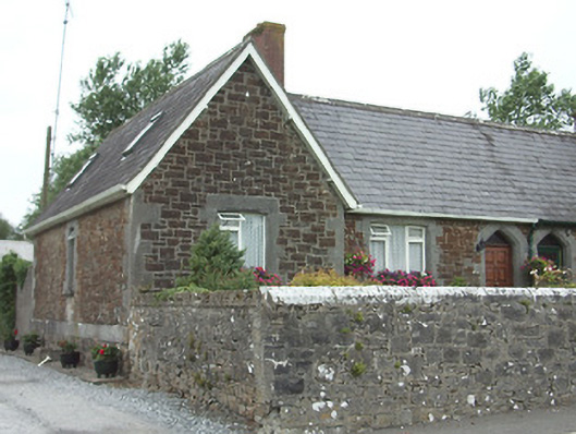 worker's houseworker's house · 1.1 mi
 Ardagh DemesneFort · 1.7 mi
 National Famine WayWalking route · 2.0 mi
 Graveyard in Curry (ardagh By., Coolamber Ed)Graveyard · 5.1 mi
 First World War MemorialMemorial · 6.1 mi
 Leveret IslandIslet · 11 mi
 White Sand WoodWood · 11 mi
 Commons North WalkVisitor information · 11 mi