What is recorded here
Drumhawragh holds a broad earthen ring where a western causeway still marks the original entrance. A local schoolteacher dug a shallow rectangular trench near the centre a century ago, believing he would find a hidden tunnel, but he emptied only soil and disappointment. The fort remains a place where human imagination kept knocking on doors that never opened.
Raised almost circular area (int. dims. 48.8m NW-SE; 44.6m NE-SW) enclosed by a low earthen bank and traces of an infilled fosse. Break in bank with accompanying causeway at W is probably original. Close to the centre of the interior is a shallow rectangular trench which is traditionally believed to be the work of a local schoolteacher searching for a 'tunnel' c. 100 years ago. His efforts were unsuccessful (local information).
The above description is derived from the published 'Archaeological Inventory of County Cavan' (Dublin: Stationery Office, 1995). In certain instances the entries have been revised and updated in the light of recent research.
Date of upload/revision: 22 December 2008
The monument record does not grant public access. Check the route and ask the landowner before entering private land.
- What survives
- Recorded monument
Places near here
 IndicatedEnclosure · 1614 yd
 Pottle WoodlandWood · 1689 yd
 Dingins Bridgebridge · 1721 yd
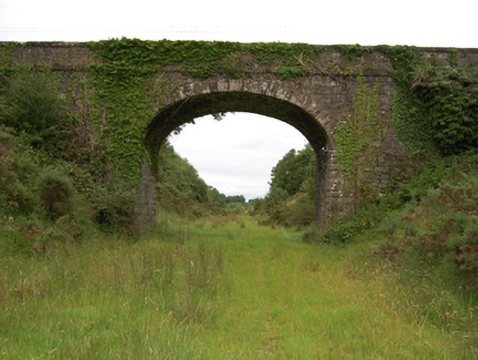 bridgebridge · 1734 yd
 Oghill Bog WoodWood · 1.0 mi
 Red IslandIslet · 1.1 mi
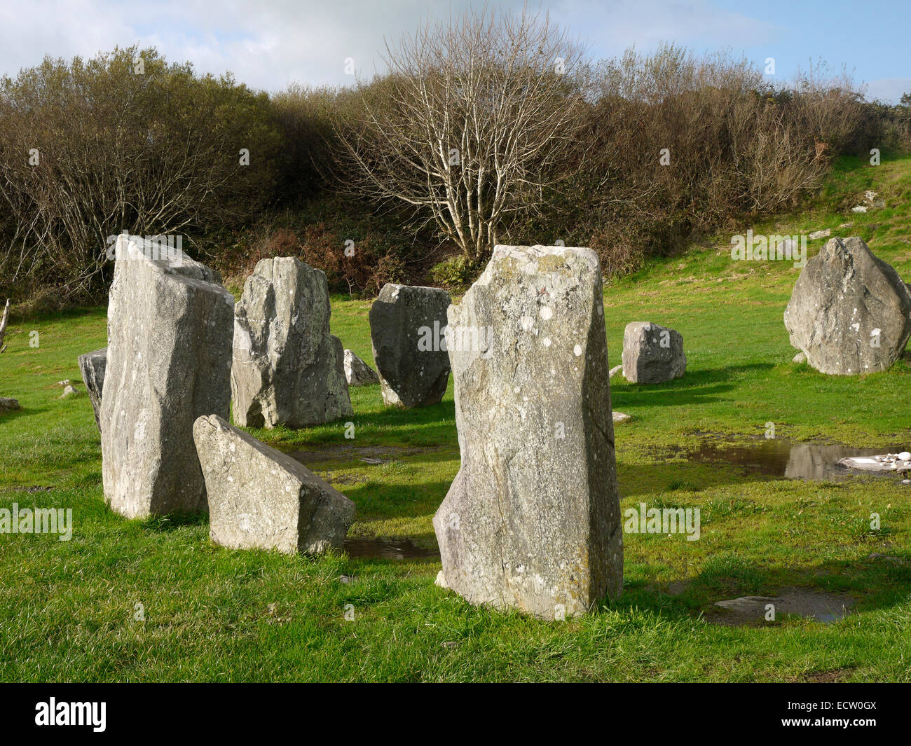 Druid's AltarArchaeological place · 1.3 mi
 DrumhawnaghMountain / peak · 1.8 mi
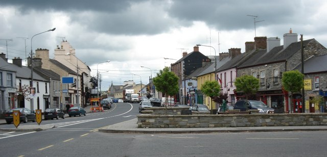 AghaveansMountain / peak · 2.5 mi
 Bawn in CastlepolesBawn · 3.0 mi
 Scrabby IslandIslet · 3.2 mi
 Cloone Ho.Castle, unclassified · 3.5 mi