What is recorded here
Bonane Heritage Park contains a steep stone-faced ringfort where human ingenuity bent earth itself into a defensible circle. The valley setting, double banks and cut interior show that the site was built to remain usable on difficult ground. Nearby markers and a possible dwelling place suggest the fort was not a isolated curiosity but a lived-in local centre.
In Bonane Heritage Park, on a steep SW-facing slope, in the valley of the Sheen River. A circular area (37m E-W; 34m N-S) defined by two earthen banks with an intervening fosse. The inner bank (Wth 8.3m; int. H 2.7m; ext. H 2.8m) is faced externally with large stones E-ESE. The intervening fosse (Wth 2.2m) is cut (H 2.5m) into the upslope SW-SE. An outer bank (Wth 3.8m; H 1.3m) is visible SE-SW. There is a causeway entrance (Wth 4m) at SE and a break (Wth 3m) in the inner bank at S. The S portion of the interior is raised and the N portion is cut into the upslope to compensate for the hillslope. However, the interior retains a gentle slope down to the SW. There is a hut site (KE102-031001-) immediately to the W, a standing stone (KE102-031002-) c. 60m to the N and a burnt spread (KE102-031003-) c. 70m to the SE.
To see a 3D model of this monument visit: https://skfb.ly/oxDWw
The above description is derived from the published 'Archaeological Inventory of County Kerry. Volume I: South-West Kerry' (Dublin: Stationery Office, 2009). In certain instances the entries have been revised and updated in the light of recent research.
Date of upload: 30 May 2011
The monument record does not grant public access. Check the route and ask the landowner before entering private land.
- What survives
- Recorded monument
Places near here
 Bullaun StoneHeritage attraction · 104 yd
 Bonane Heritage ParkMuseum · 150 yd
 Famine RuinRuins · 153 yd
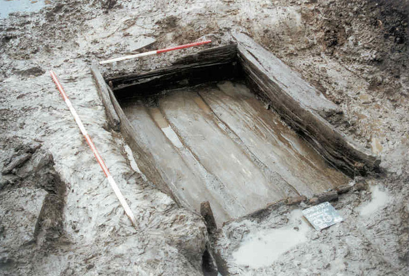 Fulacht FiadhArchaeological place · 180 yd
 IndicatedEnclosure · 503 yd
 Dromagorteen Br.Bridge · 693 yd
 BeneenMountain / peak · 1692 yd
 DerrynacaheraghMountain / peak · 2.4 mi
 The Priests LeapViewpoint · 3.2 mi
 CaoinkeenCliff · 3.6 mi
 CastleCastle, unclassified · 3.7 mi
 Mucksna Nature ReserveNature reserve · 4.1 mi