What is recorded here
Doory holds a broken ring where human hands first shaped the earth and fairy stories later inherited the hole. Its measure is still visible: a raised oval forty-five metres long, a sharp scarp, a narrow ditch, and a faint outer bank that disappears into pasture. The entrance has gone, but an underground passage remains inside, as if the fort kept a door hidden after it lost its front. People may have lived there, fled through that passage, or simply stopped coming when the shape became strange. The land did not need to choose between history and myth; it kept both.
On a W-facing slope in undulating pasture c. 330m W of 'Doory House'. A large tree plantation is depiced at this location on the 1837 ed. of the OS 6-inch map. A raised circular area (45m NW-SE; 36m NE-SW) is defined by a scarp (H 1m) with an intervening fosse (Wth 3.8m; D 0.3m) and traces of a low outer bank (Wth 3.1m; H 0.3-0.6m) from S-N-E and an outer fosse (Wth 1.3m; D 0.3m max.) from NW-NE. The original entrance is not recognisable. Within the interior are the remains of a possible Man-made underground passage (LF023-080002-). This monument is almost certainly a rath that was modified and used as a landscape feature.
Compiled by: Patrick F. O'Donovan
Date of upload: 10 January 2012
The monument record does not grant public access. Check the route and ask the landowner before entering private land.
- What survives
- Recorded monument
Places near here
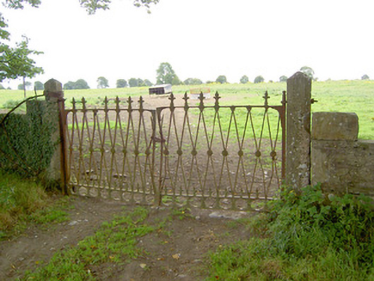 Doory Hallgates/railings/walls · 481 yd
 Barry CastleCastle, unclassified · 1099 yd
 Indicated FortFairy fort / earthen ringfort · 1273 yd
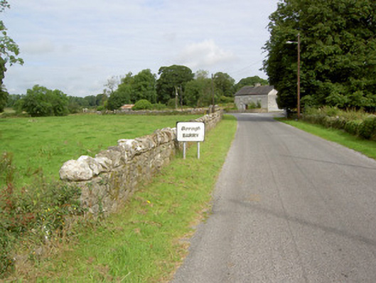 gates/railings/wallsgates/railings/walls · 1340 yd
 Enclosure in Barry (shrule By., Ballymahon Ed)Enclosure · 1679 yd
 DoonphilipCastle, motte · 1.3 mi
 Newcastle WoodsForest · 2.2 mi
 Target WoodWood · 2.5 mi
 European BeechEuropean Beech · 3.9 mi
 Corlea Bog Walk Canal BranchWalking route · 4.0 mi
 National Famine WayWalking route · 4.1 mi
 Corlea Trackway Interpretative CentreHeritage attraction · 4.2 mi