What is recorded here
Donaghmore Lower holds a broken ring where human hands built a boundary and forgotten it. The west bank still rises twelve inches above the grass, bending the field edge like a living thing remembering its shape. The rest has flattened into colour alone, a faint shadow in the green that requires attention before it reveals itself. What lived inside that circle has no name now, only the pressure of its absence pressing up through the soil.
In level, good grassland. A partially levelled ringfort (dims. c. 31m N-S; c. 29m E-W on 25-inch OS map), only a portion of the W bank (Wth 2m; int. H 0.2m; ext. H 1.2m) survives as an arc in the field boundary which runs roughly N-S up to the monument, kinking around the W quadrant. The N-E-S sections of the bank have been levelled but are still visible as differential grass colour (Wth 2m).
Compiled by: Jean Farrelly
Date of upload: 22 January 2018
The monument record does not grant public access. Check the route and ask the landowner before entering private land.
- What survives
- Recorded monument
Places near here
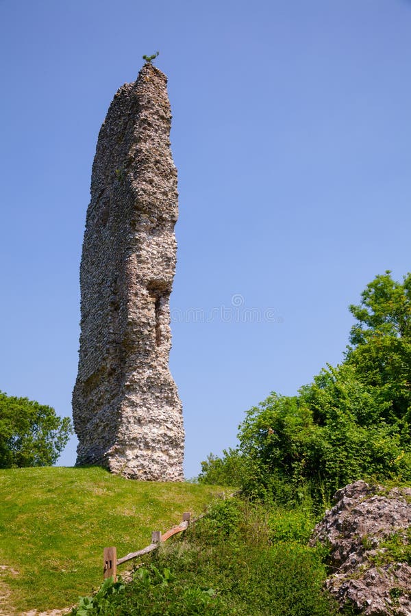 CastleCastle, ringwork and bailey · 404 yd
 Temple DonaghmoreChurch · 420 yd
 The Old Rectoryrectory/glebe/vicarage/curate's house · 1082 yd
 Borrismore Ringfort (Rath)Archaeological place · 1187 yd
 Enclosure in Donaghmore LowerEnclosure · 1220 yd
 John HelyMemorial · 1340 yd
 DelaneyMemorial · 1576 yd
 Clomantagh HillMountain / peak · 1.3 mi
 IndicatedBawn · 2.2 mi
 Street fieldArchaeological place · 3.3 mi
 Kildrinagh WoodForest · 3.9 mi
 Anker's IslandIsland · 9.1 mi