What is recorded here
No visible trace survives of the oval enclosure in Derry, though maps from 1838 and 1912 still draw its ghost across the undulating grassland. Perhaps a rath, it may have held a family, a herdsman or a child who played at the edge of the bank. Forty metres away another possible rath waits beneath the grass, suggesting a small cluster of lives rather than a lonely mound. The fort has vanished from sight but not from the shape of the land, which still remembers the weight of what stood there.
In undulating grassland. Marked on the 1838 edition of the OS 6-inch map and the OS 1:2500 plan (surveyed 1912-16) as an oval enclosure (c. 39m ESE-WNW; c. 32m NE-SW). No visible surface trace survives. Possibly a rath. Another possible rath (GA108-057----) lies c. 40m to the SE.
Compiled by: Galway Archaeological Survey, UCG
Date of upload: 4 March 2019
The monument record does not grant public access. Check the route and ask the landowner before entering private land.
- What survives
- Recorded monument
Places near here
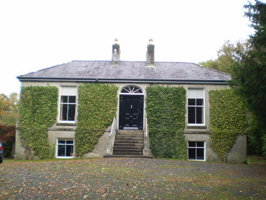 Derryormondehouse · 423 yd
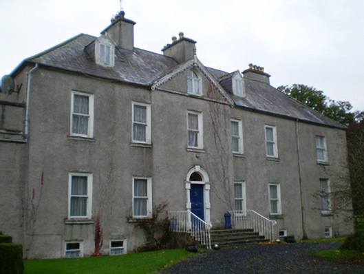 Prospecthouse · 442 yd
 Enclosure in Derry (longford By.)Enclosure · 493 yd
 KnockaunnabastyArchaeological place · 913 yd
 Lismore CastleCastle, tower house · 2.2 mi
 CastleCastle, unclassified · 2.3 mi
 Friars IslandIsland · 2.3 mi
 Killeen's IslandIsland · 2.5 mi
 MeelickVisitor information · 2.6 mi
 Redmond HillMountain / peak · 2.7 mi
 Silver FirSilver Fir · 3.7 mi
 European ashEuropean ash · 4.1 mi