What is recorded here
Located on a rise which is on a NE-facing slope. This is a raised subcircular and grass-covered area (dims 39m E-W; 34m N-S) with an uneven interior. It is defined by a scarp (H 1.5-1.9m) with some bushes, with a bank (Wth of base 8m; int. H 0.4m; ext. H 1.5m) at S, and an outer fosse is visible NE-ESE and at SW but at S it is reduced to a berm (Wth 4m). There are gaps in the perimeter at E and SW but the original entrance is likely to be the ramp (Wth of base 1.8m) at NE.
The above description is derived from the published 'Archaeological Inventory of County Meath' (Dublin: Stationery Office, 1987). In certain instances the entries have been revised and updated in the light of recent research.
Revised by: Michael Moore
Date of revision: 26 October 2018
Amended: 15/12/2022
The monument record does not grant public access. Check the route and ask the landowner before entering private land.
- What survives
- Recorded monument
Places near here
 Stone CrossCross, Wayside cross · 997 yd
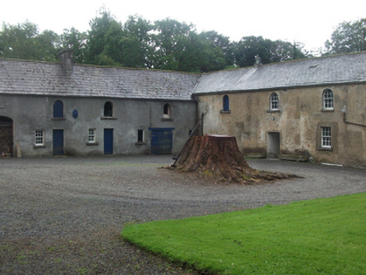 Farren Connellstables · 1177 yd
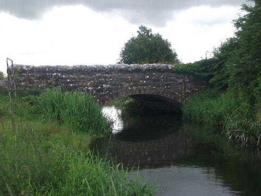 Ross Bridgebridge · 1380 yd
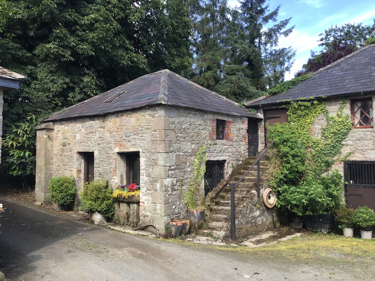 Enclosure in BobsgroveEnclosure · 1445 yd
 Ross CastleCastle, tower house · 1605 yd
 Bob's GroveForest · 1.2 mi
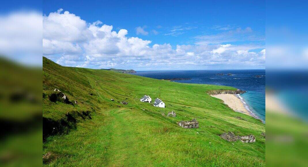 Inchicup IslandIslet · 1.2 mi
 Ross BayBay · 1.3 mi
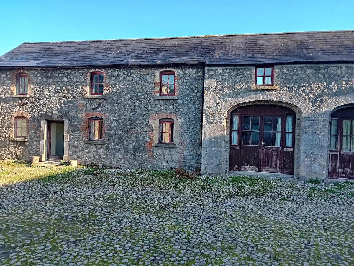 Bawn in TullystownBawn · 1.4 mi
 Muldarry PointHeadland · 1.4 mi
 MullaghmeenMountain / peak · 1.5 mi
 Fox CovertForest · 1.5 mi