What is recorded here
Fairy forts are not for human entry, though no wall or guard remains to enforce the ban. This is a ring of earth forty-eight metres across in Crowmartin, its bank still standing where the seam holds. The missing entrance may be a door that closed when the last witness left, or a reminder that some rooms do not invite strangers.
The following description is derived from both the published 'Archaeological Inventory of County Louth' (Dublin: Stationery Office, 1986) and the 'Archaeological Survey of County Louth' (Dublin: Stationery Office, 1991). In certain instances the entries have been revised and updated in the light of recent research.
Date of upload/revision: 17 July 2007
Roughly circular area (int. diam. c. 48m) enclosed by remains of bank (Wth 8m, H 1.1m internally, 1.6m externally) visible only from SE-S-W-WNW. No visible trace of fosse or entrance.
This remains an important historical record, but the official description says the monument is no longer visible or has been destroyed. The monument record does not grant public access. Check the route and ask the landowner before entering private land.
- What survives
- No visible remains or recorded as destroyed
Places near here
 The MountCastle, motte and bailey · 643 yd
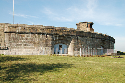 Murray's FortArchaeological place · 1379 yd
 Crinnians FortArchaeological place · 1.1 mi
 MoatCastle, motte · 1.1 mi
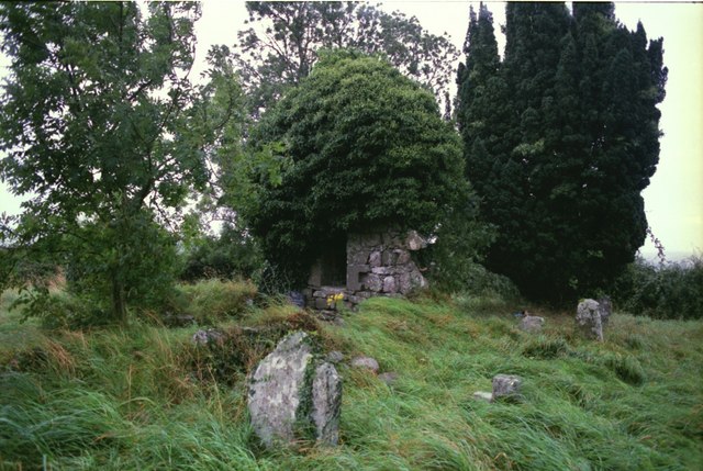 Drumbride Church in RuinsChurch · 1.1 mi
 Lagan Bridgebridge · 1.2 mi
 Matthew's HillMountain / peak · 1.6 mi
 Flat cemetery in AnnaheanFlat cemetery · 2.0 mi
 Tree IslandWood · 2.2 mi
 Drumran HillMountain / peak · 3.0 mi
 TuliptreeTuliptree · 4.1 mi
 Nobber GreenwayMemorial · 6.1 mi