What is recorded here
Croker's Park holds an oval fairy fort, thirty-three metres long and twenty-eight wide, where a scarped earth bank still rises above the pasture. A dry-stone wall clips the eastern edge, but the northwest juts outward as if the outcropping limestone refused to be flattened. People may have lived inside this shallow bowl before fields covered it, yet the fort keeps its shape beneath grass and forgetfulness.
In pasture, on gentle rise in gently undulating terrain. Oval area (33m N-S; 28m E-W) defined by scarped edge (H 1.05m; Wth 6.5m). Scarp is clipped by dry-stone field wall, travelling on E-W axis, ESE->SSW. Scarp juts out at NW probably due to outcropping limestone. Interior, under pasture, slopes down to S.
Compiled by: Denis Power
Date of upload: 26 August 2011
The monument record does not grant public access. Check the route and ask the landowner before entering private land.
- What survives
- Recorded monument
Places near here
 Derreen Castle (in ruins)Castle, tower house · 691 yd
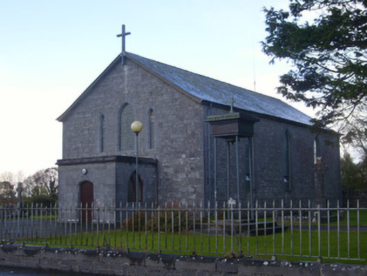 Catholic Church of Saint John the Baptistchurch/chapel · 802 yd
 TobermurryHoly well · 825 yd
 Castle GreyHouse, 18th/19th century · 1102 yd
 Fulacht fia in TobermurryFulacht fia · 1125 yd
 Carriganea CastleCastle · 1344 yd
 Stonehall Visitor FarmHeritage attraction · 1.3 mi
 Celtic Park and GardensHeritage attraction · 1.4 mi
 European YewEuropean Yew · 1.5 mi
 Sweet ChestnutSweet Chestnut · 2.4 mi
 Ringmoylan PierVisitor information · 3.1 mi
 Mellon PointHeadland · 3.4 mi