What is recorded here
Marianne and I followed the red ribbon into Corglass, passing modern cuts and a divided track before reaching the old ring. The wide fosse disappeared along the northern edge, inviting us to test whether the fort still kept its shape or had surrendered to the land. We marked the broken line and the hidden entrance, showing that even a faded rath can still teach the surveyor where memory and measurement meet.
Raised circular area (diam. c. 50.4m) enclosed by a low earthen bank and a wide, deep fosse which is absent from NNW-N-E. Poorly defined entrance at E. Internal area is divided into two roughly equal portions by a trackway which is flanked by modern earthen banks running NW-SE. Modern entrances have been cut through the perimeter at NW and SE. Bank and fosse are densely overgrown with vegetation.
The above description is derived from the published 'Archaeological Inventory of County Cavan' (Dublin: Stationery Office, 1995). In certain instances the entries have been revised and updated in the light of recent research.
Date of upload/revision: 22 December 2008
The monument record does not grant public access. Check the route and ask the landowner before entering private land.
- What survives
- Recorded monument
Places near here
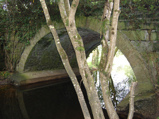 Historic buildingOfficially recorded historic building · 415 yd
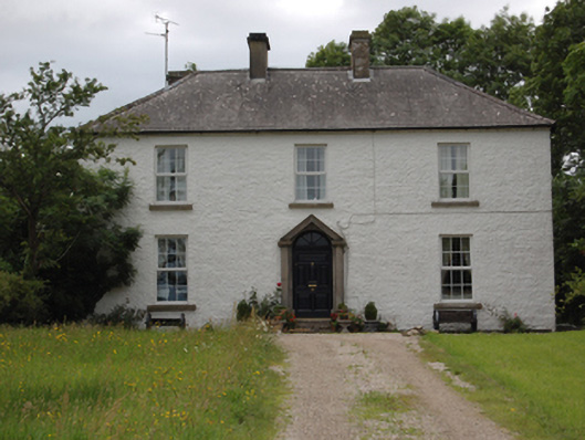 Lake View Househouse · 1172 yd
 TobermogueHoly well · 1325 yd
 Enclosure in Drummany RahanEnclosure · 1343 yd
 DerrybrickMountain / peak · 1.3 mi
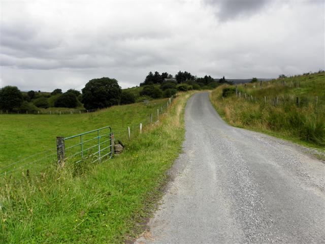 DerrynaMountain / peak · 1.3 mi
 Clogh Oughter CastleCastle, Anglo-Norman masonry castle · 1.3 mi
 InishmuckIsland · 1.5 mi
 Cloughoughter CastleIsland castle ruin · 1.5 mi
 Drumlane AbbeyHeritage attraction · 1.6 mi
 Woodenhouse BayBay · 1.8 mi
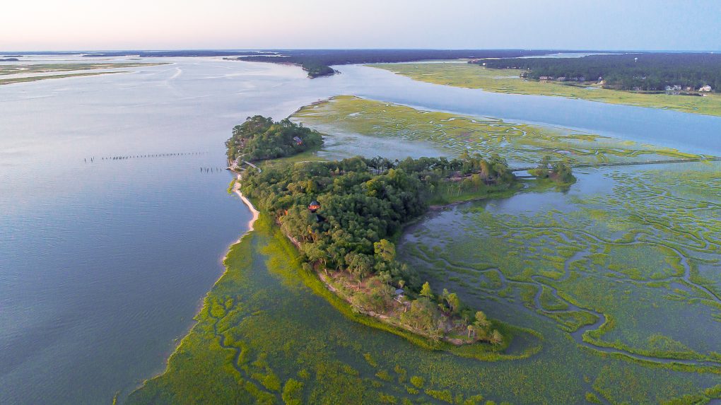 Buck IslandIslet · 1.8 mi