What is recorded here
Corcovety holds a twenty-five metre earthen ring where a break in the southern bank still marks the entrance. People refaced part of the bank with stone, yet the original earth and faint ditch remain visible beside the field. The shape is small enough to walk around quickly, but it has survived ploughing and changing ownership because it is still recognised as a place set apart.
Raised circular area (int. diam. 25.3m) enclosed by a slight earthen bank and vague traces of a fosse. The bank has been partly refaced with stone in modern times. An earlier report (OPW 1968) noted suggestions of a ploughed-out external bank from N-E-S. Break in bank at S represents original entrance.
The above description is derived from the published 'Archaeological Inventory of County Cavan' (Dublin: Stationery Office, 1995). In certain instances the entries have been revised and updated in the light of recent research.
Date of upload/revision: 22 December 2008
The monument record does not grant public access. Check the route and ask the landowner before entering private land.
- What survives
- Recorded monument
Places near here
 Drung Church of Ireland Churchchurch/chapel · 766 yd
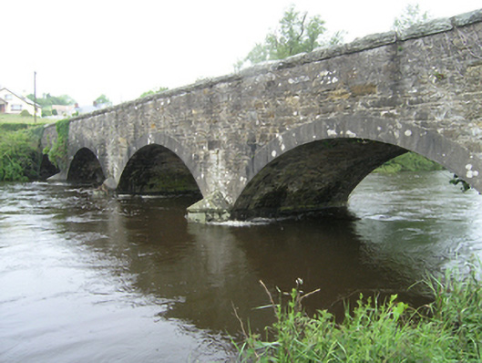 Ballynallon Bridgebridge · 775 yd
 CastleCastle, unclassified · 875 yd
 IndicatedFairy fort / earthen ringfort · 1.5 mi
 Giant's GraveArchaeological place · 1.8 mi
 Drumcarn Ho.Castle, unclassified · 1.8 mi
 CorgarveMountain / peak · 1.9 mi
 Font in Lislea (drung Ed)Font · 2.1 mi
 ArdamaghMountain / peak · 2.3 mi
 Rookery WoodForest · 2.5 mi
 Castleterra ForestForest · 2.6 mi
 Garden IsleIslet · 2.8 mi