What is recorded here
Fairy forts disguise themselves as ordinary farm scars because humanity keeps forgetting they are chambers for thought. In Coolowen, a circular ridge between two rivers once held a boundary marker, perhaps for a family, a field or a forgotten ritual. The beet pit and limekiln did not destroy the place; they joined it. What looks like nothing on a map may still be doing work inside the land, waiting for someone to stop treating mystery as empty space.
In pasture, on N-S ridge between river Martin to W and river Blarney to E. Before excavation (Twohig 1975) circular enclosure (diam. c. 45m) survived, enclosed by earthen bank (H 1.5m) to S and W; bank replaced by field fence to N; E side truncated by road running N-S. Limekiln in area of bank to SSE; concrete pit (12m E-W; 6m N-S) for beet storage in S half of interior. Excavation revealed trench (Wth 1m; D 0.6m) inside and concetric with bank, possibly to hold a 'palisade to revet inner face'; V-sectioned ditch to outside. Interior much disturbed; no finds or evidence for habitation found.
The above description is derived from the published 'Archaeological Inventory of County Cork. Volume 2: East and South Cork' (Dublin: Stationery Office, 1994). In certain instances the entries have been revised and updated in the light of recent research.
Date of upload/revision: 14 January 2009
The monument record does not grant public access. Check the route and ask the landowner before entering private land.
- What survives
- Recorded monument
Places near here
 Catholic Church (in Ruins)Church · 300 yd
 Fulachta FiadhFulacht fia · 635 yd
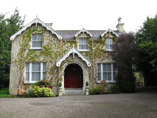 Stone Viewhouse · 1125 yd
 LiosFairy fort / earthen ringfort · 1760 yd
 BatsVisitor information · 1.3 mi
 River Martin Mill & WeirVisitor information · 1.4 mi
 Waterloo Loop WalkWalking route · 1.4 mi
 Jerry O'Connor 1955-2005Memorial · 1.4 mi
 Pakie HoganMemorial · 1.4 mi
 Garrycloyne Castle (in Ruins)Castle, tower house · 1.7 mi
 Ring WoodWood · 1.7 mi
 Seefin East TopMountain / peak · 16 mi