
What is recorded here
In ringfort (4475). Rectangular structure, aligned approx. E-W (9.9m E-W; 6.3m N-S); W wall incorporated into bank. N, S and E walls appear as narrow earthen banks (max. H 1.6m); no opes apparent. Drystone 'altar' (1.6m N-S; 0.75m E-W; H 0.9m) against internal E wall. Marked 'R.C. Chapel (in ruins)' on 1842 OS 6-inch map.
The above description is derived from the published 'Archaeological Inventory of County Cork. Volume 2: East and South Cork' (Dublin: Stationery Office, 1994). In certain instances the entries have been revised and updated in the light of recent research.
Date of upload/revision: 14 January 2009
The monument record does not grant public access. Check the route and ask the landowner before entering private land.
- What survives
- Recorded monument
Places near here
 Shantempleen (in Ruins)Church · 891 yd
 Fulachta FiadhFulacht fia · 921 yd
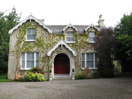 Stone Viewhouse · 1037 yd
 Fulacht fia in ClogheenmilconFulacht fia · 1664 yd
 BatsVisitor information · 1.3 mi
 River Martin Mill & WeirVisitor information · 1.3 mi
 Waterloo Loop WalkWalking route · 1.3 mi
 Jerry O'Connor 1955-2005Memorial · 1.3 mi
 Pakie HoganMemorial · 1.6 mi
 Ring WoodWood · 1.6 mi
 Garrycloyne Castle (in Ruins)Castle, tower house · 1.9 mi
:BlarneyCastle,KinsaleCorkCityShoreTour-KlookIndia.jpg) Clogheenmilcon SanctuaryNature reserve · 2.0 mi
Clogheenmilcon SanctuaryNature reserve · 2.0 miOther information
Photo: Credit not shown in the picture search · Rights wording not checked; contact us if this picture should be removed