What is recorded here
Coolmona holds a circular earthen fort thirty-four metres across, joined by a line of four others along the Shournagh River valley. Conifers crowd its interior while a second eastern bank remains beside the pasture. People may have lived there before trees claimed the center, yet the completed circle still resists forgetting.
In pasture. Circular area (diam. 34.4m) defined by overgrown earthen bank (int. H 1.6m). Interior planted with coniferous trees. Hartnett (1939, 183) records remains of second bank on E side. One of five ringforts (CO050-121----; CO050-122----; CO050-123----; CO050-124----) in a line along N side of Shournagh River valley.
The above description is derived from the published 'Archaeological Inventory of County Cork. Volume 3: Mid Cork' (Dublin: Stationery Office, 1997). In certain instances the entries have been revised and updated in the light of recent research.
Date of upload/revision: 14 January 2009
The monument record does not grant public access. Check the route and ask the landowner before entering private land.
- What survives
- Recorded monument
Places near here
 New TipperaryVisitor information · 250 yd
 Lackabane LiosFairy fort / earthen ringfort · 929 yd
 farm housefarm house · 1056 yd
 Grave YardGraveyard · 1406 yd
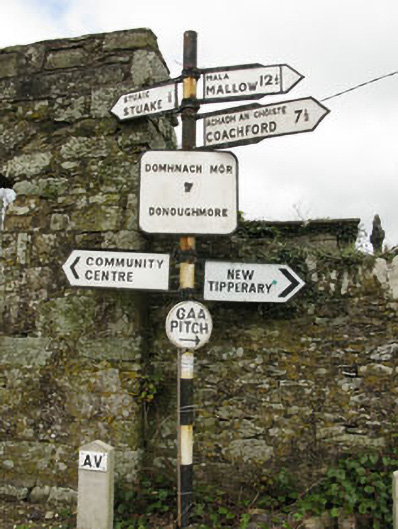 sign postsign post · 1430 yd
 Saint Bartholomew's WellSpring · 2.4 mi
 Ballyvodane Castle (in Ruins)Castle, unclassified · 2.6 mi
 Knockduff Wind FarmVisitor information · 3.3 mi
 Oldcastle WoodWood · 4.0 mi
 Lyradane MountainMountain / peak · 4.2 mi
 Carrignamuck Tower HouseCastle · 4.9 mi
 Rock HillMountain / peak · 5.1 mi