What is recorded here
Situated at the SW end of a short NE-SW ridge, with a NW-SE section of the River Slaney c. 300m to the NE and a SW-NE portion of the Glasha River is c. 300m to the SE. The cropmark of a subcircular enclosure (dims c. 60m N-S; c. 50m E-W) defined by a single fosse is visible on Google Earth (27/06/2018; 14/07/2018). An entrance is not identified but It may have been at E where there is the cropmark of what is probably a large rectangular pit or quarry (dims c. 30m E-W; c. 25m N-S). The rath was first reported by Faith Bailey and was also reported by Simon Dowling.
Compiled by: Michael Moore
Date of upload: 21 October 2019
Amended: 28 February 2020
A fairy fort or earthen ringfort in Coolatin, likely an early-medieval defensive or agricultural site, is associated with local folklore of fairy dwellings and otherworldly activity. Its location near two rivers and on a ridge suggests strategic or ritual significance.
The monument record does not grant public access. Check the route and ask the landowner before entering private land.
- What survives
- Recorded monument
Places near here
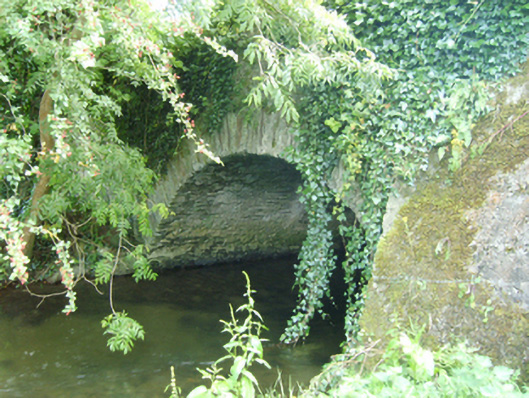 Coolattin Bridgebridge · 401 yd
 RoadRoad, road/trackway · 613 yd
 European LarchEuropean Larch · 1113 yd
 European YewEuropean Yew · 1125 yd
 Clohamon Castle (in ruins)Castle, unclassified · 1.1 mi
 IndicatedFairy fort / earthen ringfort · 1.3 mi
 Ryland Castle (in ruins)Castle, unclassified · 1.3 mi
 Embanked enclosureFairy fort / earthen ringfort · 2.0 mi
 Bunclody 1798 Bicentenary MemorialMemorial · 3.0 mi
 1798 rebellion Battle of Newtownbarry (AKA Bunclody) commemorative plaqueMemorial · 3.0 mi
 Gibbet HillMountain / peak · 3.9 mi
 John's HillMountain / peak · 4.5 mi