What is recorded here
No human memory reaches the fort, but the earth still holds its shape. A thirty-five metre circle of bank and ditch circles a grassy hummock, waiting for hands to touch what time has smoothed. The fairies may have built it, or forgotten people may have lived there before memory began. Either way, the fort remains a chamber for wonder, not a lesson in history.
On a hummock in grassland. Poorly preserved circular rath (diam. 35m) defined by two banks and an intervening fosse. The inner bank is visible from NW to NNE and from SSE to SW. A degraded scarp forms the enclosing element from NNE through E to S and no visible surface trace survives from SW to NW where it is overlain by a later field bank. The fosse survives from NW to NNE and from SE to SW. It is obscured by overgrowth from SSE to NW. The outer bank only survives NW to NNE.
Compiled by: Galway Archaeological Survey, UCG
Date of upload: 29 November 2017
The monument record does not grant public access. Check the route and ask the landowner before entering private land.
- What survives
- Recorded monument
Places near here
 CastleCastle, unclassified · 327 yd
 Parkeen WellHoly well · 800 yd
 Holy WellHoly well · 936 yd
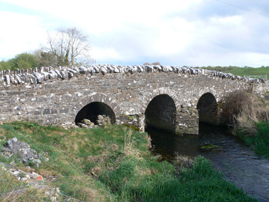 Castletown Bridgebridge · 1720 yd
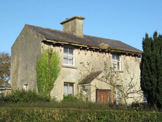 Lisduff Househouse · 1.2 mi
 Knockaunnageeragh Castle in ruinsCastle, unclassified · 1.7 mi
 Quarryhill WoodWood · 3.4 mi
 Bog WoodForest · 3.9 mi
 Dartfield Horse MuseumHeritage attraction · 5.3 mi
 Church HillMountain / peak · 6.1 mi
 The bloody HollowHeritage attraction · 7.9 mi
 Battle of AughrimMajor battlefield · 7.9 mi