What is recorded here
Thirty-four metres across near Reenarea Point, the forgotten ringfort watches Portmagee Channel while cultivation ridges still mark its interior. Earth and small stone built its bank, yet rain has worn most of it flat. The eastern sector remains seven-tenths of a metre high, and a seven-metre gap at east-southeast may be the entrance the fortress once used.
Internal diam. 32m N-S, 34.3m E-W
Not marked on the OS maps, this circular univallate rath is located close to the S shore of Valencia Island, near Reenarea Point, from where it commands fine prospects along the length of Portmagee Channel. The enclosing bank, composed of earth and some small stone, is quite eroded. The external fosse is flat-bottomed and is best preserved at SE and S. Here, it averages 2.9m wide and .25m deep below external ground level. The bank survives best along the E sector, where it is .7m high, both externally and internally, and has a basal width of 3.7m. Two gaps occur in the bank at ESE and WSW. That at ESE, 7m wide, may represent the original entrance; the fosse cannot be traced at this point. A series of cultivation ridges occupies the interior of the rath.
The above description is derived from A. O'Sullivan and J. Sheehan (compilers), 'The Iveragh peninsula: an archaeological survey of South Kerry'. Cork University Press (1996), no. 491. In certain instances the entries have been revised and updated in the light of recent research.
Date of upload: 28 July 2013
The monument record does not grant public access. Check the route and ask the landowner before entering private land.
- What survives
- Recorded monument
Places near here
 Burnt spread in Coarha MoreBurnt spread · 193 yd
 Skellig Experience CentreMuseum · 882 yd
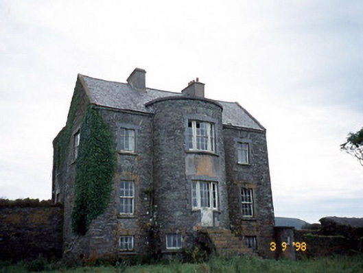 Belle Villefarm house · 917 yd
 CaveMan-made underground passage · 1067 yd
 Church in Illaunloughan,portmageeChurch · 1411 yd
 ValentiaIsland · 1.2 mi
 Telegraph Field Valentia IslandMemorial · 1.5 mi
 Horse IslandIslet · 1.9 mi
 Beehive CellsHeritage attraction · 1.9 mi
 Culloo RockViewpoint · 2.2 mi
 GeokaunMountain / peak · 2.3 mi
 Fogher CliffCliff · 2.3 mi