
What is recorded here
This severely disturbed Man-made underground passage, marked 'Cave' on the OS maps, is located on a gentle N facing slope overlooking Portmagee Channel. Only a short stretch of a drystone-built passage is extant; it is aligned N-S and measures 1.8m long and .5m wide. It contains a fill of collapsed material, and one lintel, occurring at a depth of .8m below the ground surface, remains in situ. A pile of stone and rubble, semicircular in outline, is located 5m to SW. This may be the remnants of an associated structure or may merely represent field clearance.
The above description is derived from A. O'Sullivan and J. Sheehan (compilers), 'The Iveragh peninsula: an archaeological survey of South Kerry'. Cork University Press (1996), no. 873. In certain instances the entries have been revised and updated in the light of recent research.
Date of upload: 29 July 2013
The monument record does not grant public access. Check the route and ask the landowner before entering private land.
- What survives
- Recorded monument
Places near here
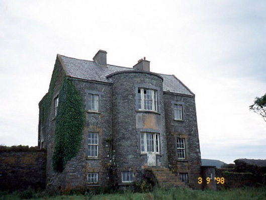 Belle Villefarm house · 572 yd
 Man-made underground passage in LateeveMan-made underground passage · 977 yd
 Skellig Experience CentreMuseum · 1205 yd
 Burnt spread in Coarha MoreBurnt spread · 1228 yd
 Church in Illaunloughan,portmageeChurch · 1339 yd
 Beehive CellsHeritage attraction · 1.5 mi
 Telegraph Field Valentia IslandMemorial · 1.6 mi
 Tobairin Holy WellSpring · 1.8 mi
 ValentiaIsland · 1.8 mi
 Horse IslandIslet · 1.8 mi
 Cúm an EaspaigMountain / peak · 1.8 mi
 BallynablounMountain / peak · 2.1 mi
Other information
Photo: Credit not shown in the picture search · Rights wording not checked; contact us if this picture should be removed