
What is recorded here
Traces of a fulacht fiadh were exposed in the side of a drain at this location in the mid-1980s. The site is located on the landward end of a low peat-covered rise which juts into Portmagee Channel at the S side of Valencia Island. Resting on .4m of peat, the site is exposed as a .15m thick lens of charcoal and burnt stone. The charcoal was identified as that of oak, hawthorn and poplar/willow, and it yielded a radiocarbon determination of 3800±100 BP (Mitchell 1989, 82).
The above description is derived from A. O'Sullivan and J. Sheehan (compilers), 'The Iveragh peninsula: an archaeological survey of South Kerry'. Cork University Press (1996), no. 421. In certain instances the entries have been revised and updated in the light of recent research.
Date of upload: 28 July 2013
The monument record does not grant public access. Check the route and ask the landowner before entering private land.
- What survives
- Recorded monument
Places near here
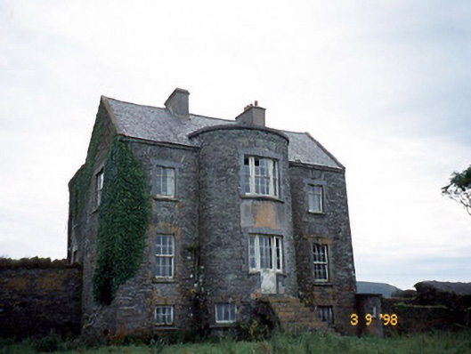 Belle Villefarm house · 1005 yd
 Skellig Experience CentreMuseum · 1037 yd
 CaveMan-made underground passage · 1228 yd
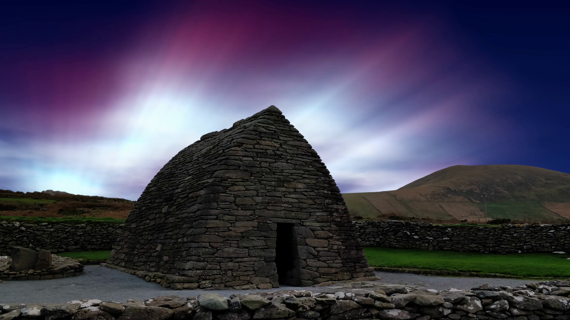 Oratory (in Ruins)Church · 1459 yd
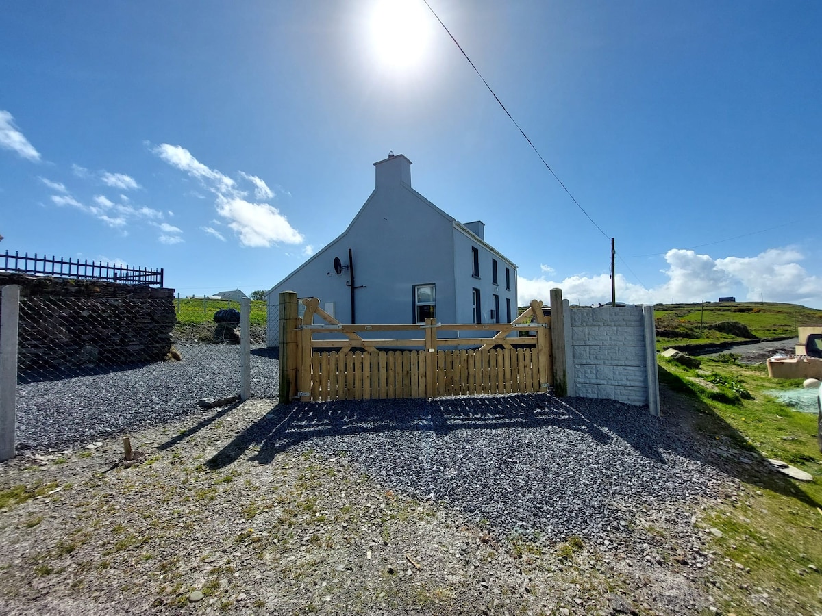 Enclosure in Coarha MoreEnclosure · 1528 yd
 ValentiaIsland · 1.1 mi
 Telegraph Field Valentia IslandMemorial · 1.5 mi
 Horse IslandIslet · 2.0 mi
 Beehive CellsHeritage attraction · 2.1 mi
 GeokaunMountain / peak · 2.2 mi
 Fogher CliffCliff · 2.2 mi
 Culloo RockViewpoint · 2.2 mi
Other information
Photo: Credit not shown in the picture search · Rights wording not checked; contact us if this picture should be removed