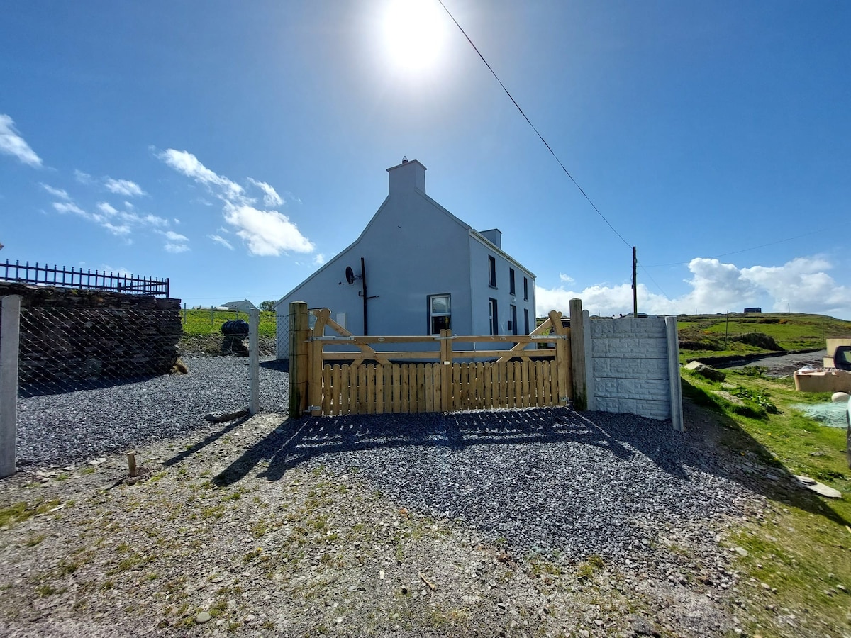
What is recorded here
This small circular enclosure, not marked on the OS maps, lies in poor, S sloping pasture on Valencia Island, overlooking Portmagee Channel. The enclosing earthen bank is eroded and quite heavily overgrown, surviving best along the S sector. It is .65m high externally, .4m high internally and 1.5m wide. There are many cattle tracks through the bank, and a large break occurs at N. It is not clear, however, where the original entrance is located. The site measures 9m in internal diameter.
The above description is derived from A. O'Sullivan and J. Sheehan (compilers), 'The Iveragh peninsula: an archaeological survey of South Kerry'. Cork University Press (1996), no. 722. In certain instances the entries have been revised and updated in the light of recent research.
Date of upload: 29 July 2013
The monument record does not grant public access. Check the route and ask the landowner before entering private land.
- What survives
- Recorded monument
Places near here
 Skellig Experience CentreMuseum · 768 yd
 Church in Illaunloughan,portmageeChurch · 953 yd
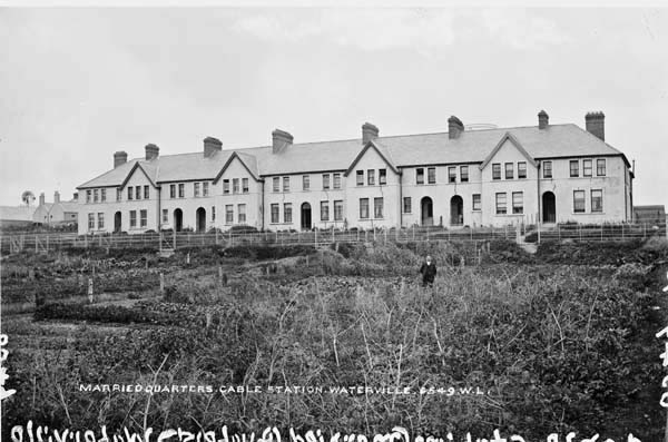 Anglo American Cable House, Telegraph FieldMonument · 1111 yd
 Telegraph Field Valentia IslandMemorial · 1218 yd
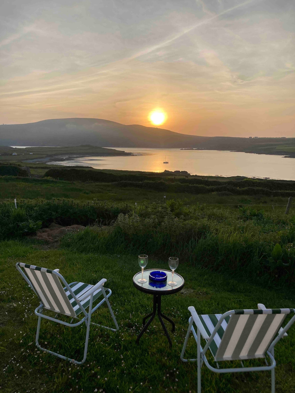 Hut site in Coarha BegHut site · 1281 yd
 Cromwell's FortRuins · 1292 yd
 ValentiaIsland · 1.2 mi
 Horse IslandIslet · 1.3 mi
 Culloo RockViewpoint · 1.6 mi
 Beehive CellsHeritage attraction · 1.8 mi
 Fogher CliffCliff · 2.2 mi
 GeokaunMountain / peak · 2.3 mi
Other information
Photo: Credit not shown in the picture search · Rights wording not checked; contact us if this picture should be removed