What is recorded here
Fairy fort / earthen ringfort in Clouracaun stands in pasture on a south-facing slope, a circular area thirty-eight metres across enclosed by an earthen bank with an external fosse. The interior rises slightly above the surrounding ground, shaped like a shallow saucer, while a possible outer bank runs from northeast to southwest and now forms part of the field-fence system. The exact purpose and duration of human use remain unclear, but the shape and setting suggest a deliberate boundary marker or small settlement rather than a casual heap of soil.
In pasture, on S-facing slope. Circular area (diam. 38m) enclosed by earthen bank (int. H 0.3m; ext. H 1.8m) with external fosse (D 0.9m); possible outer bank (H 1.1m) NE->SW, now forming part of field-fence system. Interior saucer-shaped and raised above surrounding level.
The above description is derived from the published 'Archaeological Inventory of County Cork. Volume 2: East and South Cork' (Dublin: Stationery Office, 1994). In certain instances the entries have been revised and updated in the light of recent research.
Date of upload/revision: 14 January 2009
The monument record does not grant public access. Check the route and ask the landowner before entering private land.
- What survives
- Recorded monument
Places near here
 Farlistown Househouse · 1.2 mi
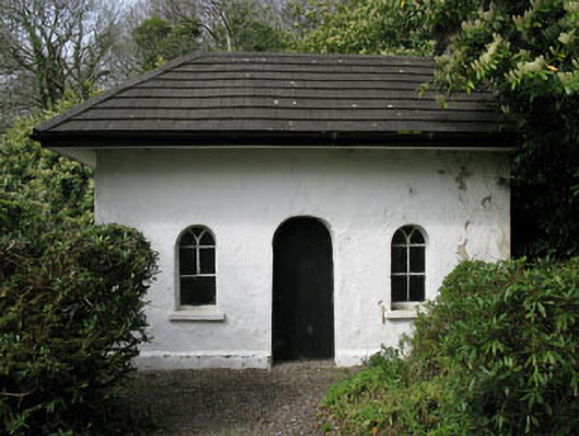 Shippool Housegate lodge · 1.3 mi
 Killountane Burial Gd (Disused)Burial ground · 1.3 mi
 Grave YardGraveyard · 1.4 mi
 Shippool CastleCastle · 1.5 mi
 Shippool WoodWood · 1.7 mi
 Carrighnassig Castle (Site of)Castle, unclassified · 1.9 mi
 Marie LouiseWreck · 2.3 mi
 Dromkeen Wood Nature ReserveForest · 2.3 mi
 The Stone of DestinyMemorial · 3.7 mi
 Graveyard in Abbey-Lands, Part of (kinsale By., Ringcurran Par.)Graveyard · 5.1 mi
 Crois Na Leanbh MemorialMemorial · 5.2 mi