What is recorded here
Fairy fort / earthen ringfort in Clonloskan: a raised circular area 32.5m east-west and 34.3m north-south, enclosed by a low earthen bank and a partly waterlogged fosse, with a possible entrance at east-southeast. It stands in County Cavan as a rath, the kind of place people once shaped for living, keeping, or excluding others. The water in the ditch and the worn bank suggest long use and longer neglect, while the name Fairy fort reminds that people also saw it as a boundary between the ordinary world and the strange one.
Raised circular area (int. dims. 32.5m E-W; 34.3m N-S) enclosed by a partially denuded low earthen bank and a partly waterlogged fosse. Original entrance may have been at ESE.
The above description is derived from the published 'Archaeological Inventory of County Cavan' (Dublin: Stationery Office, 1995). In certain instances the entries have been revised and updated in the light of recent research.
Date of upload/revision: 22 December 2008
The monument record does not grant public access. Check the route and ask the landowner before entering private land.
- What survives
- Recorded monument
Places near here
 Lismore DemesneForest · 979 yd
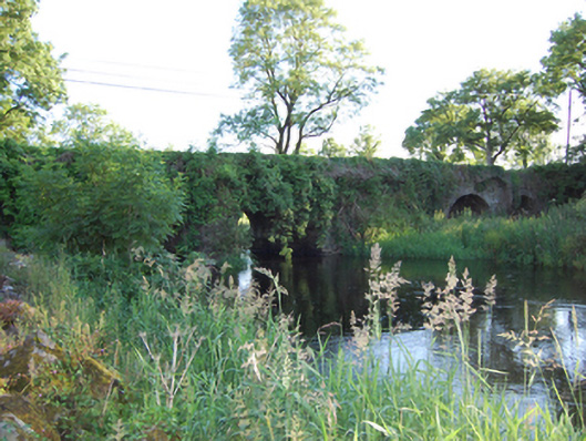 Bellahillan Bridgebridge · 1187 yd
 LismoreFairy fort / earthen ringfort · 1485 yd
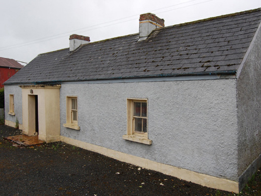 farm housefarm house · 1508 yd
 IndicatedFairy fort / earthen ringfort · 1581 yd
 DrumcarbanMountain / peak · 1606 yd
 Lismore CastleCastle, unclassified · 1636 yd
 White Lough ForestForest · 1643 yd
 Cornafean GFCMemorial · 1.2 mi
 CorrMountain / peak · 1.6 mi
 Castle CosbyCastle, unclassified · 1.9 mi
 Red IslandIslet · 2.6 mi