What is recorded here
Situated on a slight rise, in gently undulating pasture. Bivallate ringfort described in 1971 as a roughly circular-shaped area enclosed by a bank, an intervening fosse and an outer bank with a gap (Wth at top 3.7m; Wth at base 1.6m) at SE which may represent the original entrance. The inner bank is best preserved at ESE and is almost reduced to a scarp elsewhere. It has several narrow modern gaps and slight quarry depressions. The fosse is visible from SSW-W-N-NE and has been truncated from NNE-E by a field boundary running NW-SE. The low remains of an outer bank are visible from SSW-W-NW. The interior rises slightly from the perimeter towards the centre, where a hut-site (WM024-089001-) is located.
Compiled by Alison McQueen, Vera Rahilly and Caimin O’Brien.
Date of upload: 19 August 2019
The monument record does not grant public access. Check the route and ask the landowner before entering private land.
- What survives
- Recorded monument
Places near here
 Hut site in ClareHut site · 1 yd
 Bawn in ClareBawn · 878 yd
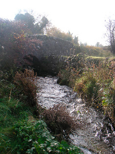 bridgebridge · 966 yd
 wellwell · 1251 yd
 Bishopstown Castle in ruinsCastle, unclassified · 1.2 mi
 Japanese pagoda treeJapanese pagoda tree · 1.5 mi
 KnockastiaMountain / peak · 1.9 mi
 Sam's ParkForest · 2.0 mi
 Charles BianconiMemorial · 5.9 mi
 Dún na Sí Heritage CentreMuseum · 5.9 mi
 The Bob Traynor GalleryGallery · 5.9 mi