What is recorded here
Situated on the S-facing slope of a slight rise, in undulating pasture, with excellent views to E, SW and W. Clare castle (WM024-078----) and bawn (WM024-078001-) 175m to N. Monument described in 1971 as a roughly circular-shaped area (dims. 53m N-S; 52m E-W) enclosed by a high, steep earth and stone bank that is almost reduced to a scarp from NW-N-E-ESE. The bank has several small gaps in it, although the original entrance is not recognisable. There is no external fosse, although there is a fosse-like depression on the interior of the bank. The interior rises slightly from the perimeter toward the centre where there is rock outcrop. A post-1700 stone wall running NW-SE cuts across the NE sector of the monument. There is a complex of old banks surrounding the site, several of which intersects the base of the ringfort bank. One of the banks overlies the perimeter of the monument at NNW.
Compiled by Alison McQueen, Vera Rahilly and Caimin O’Brien.
Date of upload: 13 August 2019
The monument record does not grant public access. Check the route and ask the landowner before entering private land.
- What survives
- Recorded monument
Places near here
 Bawn in ClareBawn · 244 yd
 Hut site in ClareHut site · 634 yd
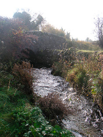 bridgebridge · 1321 yd
 wellwell · 1613 yd
 Plary Monastery (in Ruins)Castle, tower house · 1.6 mi
 Japanese pagoda treeJapanese pagoda tree · 1.9 mi
 Sam's ParkForest · 2.2 mi
 KnockastiaMountain / peak · 2.3 mi
 Hill of UisneachMountain / peak · 3.6 mi
 Dún na Sí Heritage CentreMuseum · 6.1 mi
 Noughaval CemeteryArchaeological place · 6.6 mi