What is recorded here
Mortons and others still drop marbles into the hole at Killruan, believing the chamber below wants payment before it gives up its treasure. The woman in green appears only when the water is calm and the sky is clear, pointing toward a field or rock heap as if marking a room in a house nobody else can see. Some marbles return changed, heavier or warm, as though they had touched something living. The chamber may be a chamber at all, or it may be a doorway that uses chambers as its language.
Internal diam. c. 18m
This poorly-preserved univallate rath contains traces of 2 huts. It is sited on level ground, with an open outlook in all directions, and the surrounding field is in the process of being reclaimed. The earthen enclosing bank is no longer traceable along the W sector. Clearance debris has been piled up against the field wall which ran immediately outside the line of the bank here (2nd edition OS map). The best preserved portion of the bank, at E, is faced internally with drystone masonry which survives to a maximum height of .9m. A short stretch of facing occurs on the outer face and loose stones strewn elsewhere on the outer face suggest that this was formerly more extensive. The stone-faced entrance gap at E is 1.4m wide. The remains of a circular stone hut lie a little S of centre. It is 4m in diameter internally and the drystone-built wall stands only 2 courses high. The outline of the NE half of the structure is no longer discernible. A short stretch of the outer face was visible until recently and this indicated a wall width of 2.15m. A short arc of the wall of a 2nd hut lies immediately inside the enclosing bank at NNE.
The above description is derived from J. Cuppage, ‘Corca Dhuibhne. Dingle Peninsula archaeological survey. Ballyferriter. Oidhreacht Chorca Dhuibhne’ (1986), no. 475. In certain instances the entries have been revised and updated in the light of recent research.
Date of upload: 7 August 2013
The monument record does not grant public access. Check the route and ask the landowner before entering private land.
- What survives
- Recorded monument
Places near here
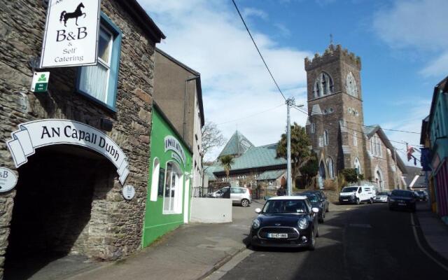 Hut site in Cill Mhuire (tc An Baile Dubh)Hut site · 1 yd
 Man-made underground passage in Cill Mhuire (tc An Baile Dubh)Man-made underground passage · 144 yd
 Church in Cill An UrdráinChurch · 1166 yd
 Drom BeachBeach / strand · 1.1 mi
 Séipéal Bhréanainn [Saint Brendan's Catholic Church]church/chapel · 1.2 mi
 An t'Oileán DubhIslet · 1.7 mi
 Site of CastleCastle, unclassified · 1.8 mi
 An CheapaighBeach / strand · 1.8 mi
 Sliabh na nGabharMountain / peak · 2.0 mi
 Hillville WoodWood · 2.0 mi
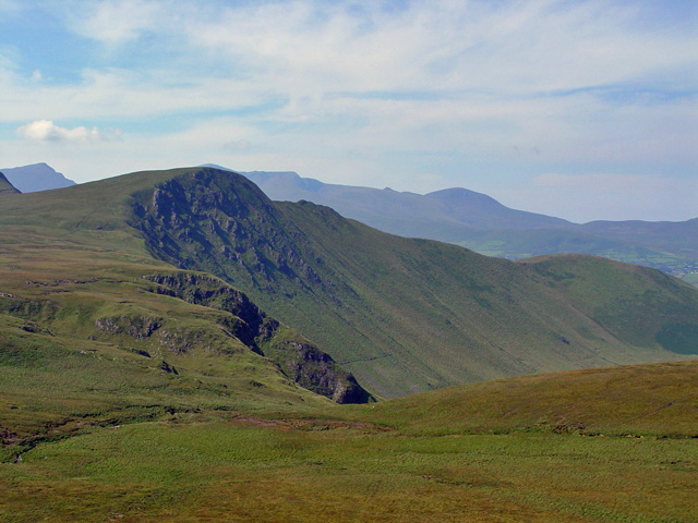 Gob an IolairMountain / peak · 2.0 mi
 Pointe na CathrachHeadland · 2.7 mi