What is recorded here
Situated on top of a slight natural rise surrounded by gently undulating land of good pasture. Excellent views to the W and N. Castle site (WM001-019----) located 280m to NNE. Unusually large roughly circular-shaped raised area (diam. 57m NE-SW; 55m NW-SE) defined by a poorly preserved earth and stone bank best preserved from WSW-W-WNW where it has been incorporated into a modern field boundary running N-S, and elsewhere reduced to a scarp with external fosse only visible from NW-N. No entrance feature visible. The interior slopes unevenly from SW to NE. To the east of the centre there is a low rocky outcrop. Faint traces of cultivation ridges running NNE-SSW across the monument.
See attached profile of monument surveyed and drawn by the ASI.
Compiled by: Frank Coyne & Caimin O'Brien
Date of upload: 28 November 2016
The monument record does not grant public access. Check the route and ask the landowner before entering private land.
- What survives
- Recorded monument
Places near here
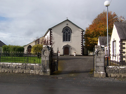 Saint Michael's Catholic Churchchurch/chapel · 271 yd
 Site of CastleCastle, unclassified · 343 yd
 IndicatedFairy fort / earthen ringfort · 890 yd
 Castletown Houseworker's house · 924 yd
 CastleCastle, motte · 1092 yd
 Enclosure in FoyranEnclosure · 1733 yd
 Rock of CurryCliff · 1.4 mi
 MullaghmeenMountain / peak · 1.8 mi
 Mullaghmeen White WalkWalking route · 1.8 mi
 Mullaghmeen Red WalkWalking route · 2.0 mi
 Mullaghmeen ForestPicnic place · 2.3 mi
 Fox CovertForest · 2.8 mi