What is recorded here
Fairy fort / earthen ringfort in Carrowmore stands in County Limerick, Ireland. A circular area twenty-eight metres across, an earthen bank, a scarped edge and an external fosse still mark the place. The enclosure is terraced into a falling slope, with a level interior now hidden under pasture. The south side shows the outside field higher than the inside because the ring was cut into the land rather than built as a tall mound. In that much of the circle is taken by grass, sheep or quiet foottraffic, the fort becomes a living room for the county instead of a dead heap of soil.
In pasture, on N-facing slope. Circular area (diam. 28m) enclosed by earthen bank (int. H 0.75m; ext. H 1m) NNE->SW, and defined by scarped edge (H 1.5m; Wth 1.5m) W->NNE, with external fosse (D 0.4m; Wth 3m) NNE->W; enclosing element indeterminate SW->W as covered by dense overgrowth. External field level higher than interior on S side as enclosure terraced into falling ground. Level interior under pasture
Compiled by: Denis Power
Date of upload: 26 August 2011
The monument record does not grant public access. Check the route and ask the landowner before entering private land.
- What survives
- Recorded monument
Places near here
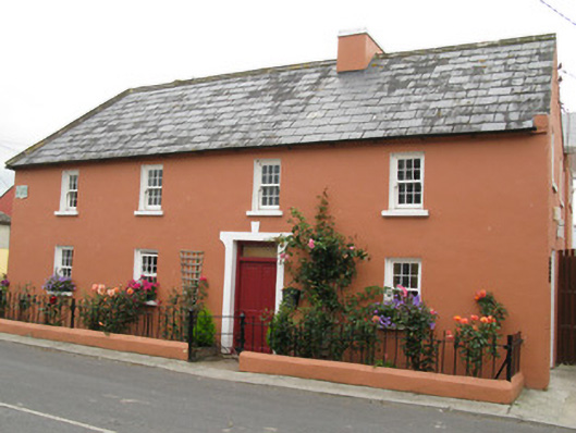 Áras Ídehouse · 1163 yd
 Church (in ruins)Church · 1261 yd
 CastleCastle, unclassified · 1515 yd
 BarrowBarrow, ditch barrow · 1.1 mi
 IndicatedFairy fort / earthen ringfort · 1.1 mi
 Garbally WellSpring · 1.3 mi
 Mayne Ho.Castle, unclassified · 2.0 mi
 Sunday WellSpring · 2.1 mi
 European ashEuropean ash · 4.7 mi
 Famine stoneMemorial · 5.1 mi
 KnockfeerinaMountain / peak · 5.5 mi
 Ballagh MountainMountain / peak · 8.2 mi