What is recorded here
Fairy fort / earthen ringfort in Carrowcashel (tirerrill By., Riverstown Ed) is a fairy fort or earthen ringfort in Carrowcashel (tirerrill By., Riverstown Ed), County Sligo, Ireland. The levelled rath occupies pasture on the south-facing slope of a low ridge, preserving an eighteen-metre circular area bounded by a one-and-a-half-metre scarp along its south and west edges. Survey maps from 1838 and 1914 recorded the same circular feature, while the north and east step marks later cutting into the upslope rather than ancient construction.
In pasture, on the S-facing slope of a low ridge. The rath is levelled. It is now evident as a circular area (18m NE-SW; 18m NW-SE) defined by a scarp (H 1.5m) along the S and W arcs. A step along the N and E arcs, where the interior is cut into the upslope, appears to be of recent origin. The rath is indicated on the 1838 OS 6-inch map as an embanked circular area and on the 1914 OS 6-inch map as a hachured circular area (diam. c. 20m) incorporated into a field boundary system along the S arc.
The above description is derived from the published 'Archaeological Inventory of County Sligo' compiled by Ursula Egan, Elizabeth Byrne, Mary Sleeman with Sheila Ronan and Connie Murphy (Dublin Stationery Office, 2005).
Date of upload: 18 January 2008
The monument record does not grant public access. Check the route and ask the landowner before entering private land.
- What survives
- Recorded monument
Places near here
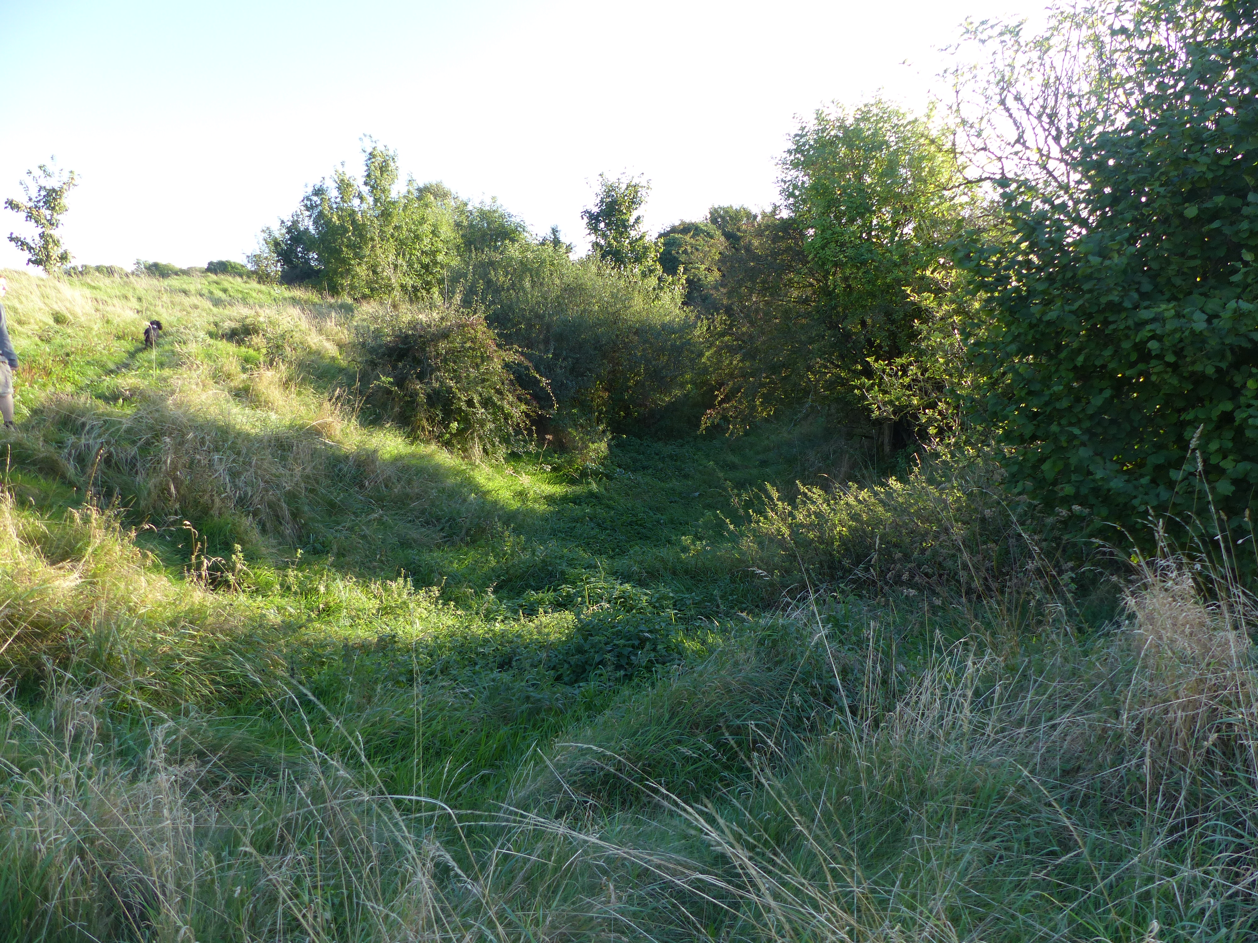 Promontory fortPromontory fort, inland · 134 yd
 Castle Douglas (Site of)Castle, unclassified · 141 yd
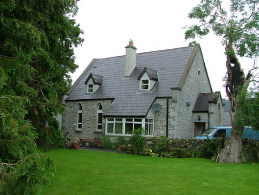 church/chapelchurch/chapel · 487 yd
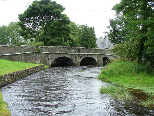 bridgebridge · 508 yd
 Indicated (1838).Enclosure · 633 yd
 Riverstown Folk ParkHeritage attraction · 1134 yd
 Coola Castle (in Ruins)Bawn · 1.6 mi
 James MorrisonMemorial · 2.4 mi
 Field MapleField Maple · 3.9 mi
 Giants GraveArchaeological place · 4.0 mi
 European ashEuropean ash · 4.5 mi
 Annaghgowla IslandIslet · 4.7 mi