What is recorded here
Fairy fort / earthen ringfort in Carrigfadda (carbery West (e.d.) By.) stands in pasture on a NE-facing slope, a circular raised area 28.6m N-S and 26m E-W enclosed by a 1.3m earthen bank. The bank is stone faced in parts but badly eroded from N to ESE, leaving a 2m gap to E that may be ancient. People may have lived inside, herded animals past the broken bank, or pointed at it when warning children not to wander after dark.
In pasture, on NE-facing slope. Circular, slightly raised area (28.6m N-S; 26m E-W) enclosed by earthen bank (H 1.3m). Bank stone faced in parts; badly eroded N->ESE; gap to E (Wth 2m) may be ancient.
The above description is derived from the published 'Archaeological Inventory of County Cork. Volume 1: West Cork' (Dublin: Stationery Office, 1992). In certain instances the entries have been revised and updated in the light of recent research.
Date of upload/revision: 14 January 2009
The monument record does not grant public access. Check the route and ask the landowner before entering private land.
- What survives
- Recorded monument
Places near here
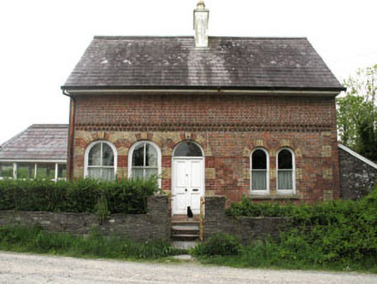 Liss Ardgate lodge · 309 yd
 Mimosahouse · 375 yd
 Site of CastleCastle, unclassified · 641 yd
 Man-made underground passage (Site of)Man-made underground passage · 674 yd
 Wild Atlantic WayVisitor information · 876 yd
 Burial GdBurial ground · 1274 yd
 Irish Sky GardenHeritage attraction · 1296 yd
 Bishop MahonyMemorial · 1683 yd
 Heritage CentreMuseum · 1741 yd
 Coolngrane Fairy FortFort · 1.8 mi
 Tober an IarainnSpring · 1.9 mi
 Giant's GraveArchaeological place · 2.0 mi