What is recorded here
Carriganurra holds a broken earthen ring, the kind of fort people built before maps existed. It is no longer a complete circle, yet the earth still marks the shape of human choice. Maybe children ran around it, maybe adults argued about fence lines, maybe the fort fell quiet and became a fairy story. The hole in the ground does not need a warning label; it invites imagination.
The Archaeological Survey of Ireland (ASI) is in the process of providing information on all monuments on The Historic Environment Viewer (HEV). Currently the information for this record has not been uploaded. To access available information for research purposes please make an appointment in advance with the Archive Unit (open Fridays 10.00 am – 5.00 pm), Department of Housing, Local Government and Heritage, The Custom House, Dublin 1 D01W6XO or email NMarchive@housing.gov.ie.
The monument record does not grant public access. Check the route and ask the landowner before entering private land.
- What survives
- Recorded monument
Places near here
 Carriganurra Ringfort (rath)Archaeological place · 8 yd
 CrossCross, Wayside cross · 1.0 mi
 Church in GroganChurch · 1.0 mi
 Catholic Church of the Assumptionchurch/chapel · 1.5 mi
 Castle (in Ruins)Castle, tower house · 2.0 mi
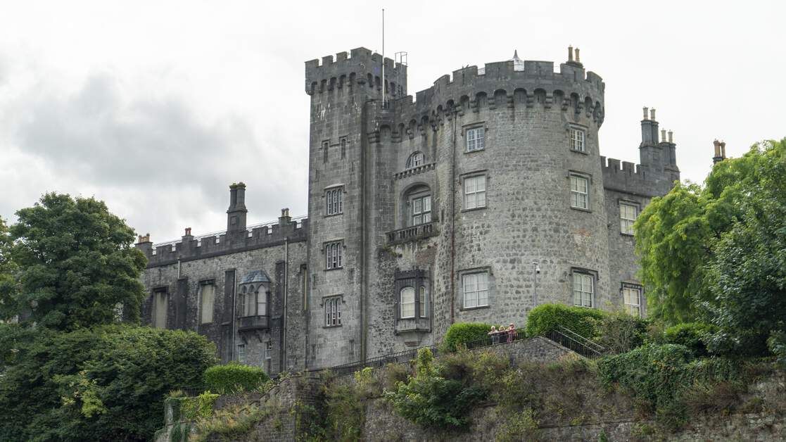 CastleCastle, unclassified · 2.2 mi
 Native Woodland Trust:Grace Dieu ReserveWood · 5.2 mi
 Native Irish Tree TrailWood · 6.0 mi
 Mount Congreve GardensHeritage attraction · 7.7 mi
 Sugar Loaf RockMountain / peak · 7.9 mi
 Waterford & Suir Valley RailwayHeritage attraction · 8.7 mi
 Thomas PhelanMemorial · 12 mi