What is recorded here
Mortons has forgotten the fort, but the earth has not. A twelve-foot bank still circles the garden, marking the edge of a house built before bricks or ownership. The stones beneath the grass remember the weight of hands that shaped them. What is buried there is not lost, only waiting to be seen again.
On small patch of ground, on SW-facing slope, within housing estate. Circular area (33.8m N-S; c. 32m E-W) defined by overgrown earthen bank (H 1.2m) NE->SSE; stone faced in parts; scarp (H 0.4m) SSE->SSW; footpath and road to W; field fence to N.
The above description is derived from the published 'Archaeological Inventory of County Cork. Volume 2: East and South Cork' (Dublin: Stationery Office, 1994). In certain instances the entries have been revised and updated in the light of recent research.
Date of upload/revision: 14 January 2009
The monument record does not grant public access. Check the route and ask the landowner before entering private land.
- What survives
- Recorded monument
Places near here
 St Ringoes WellHoly well · 554 yd
 St. John's WellArchaeological place · 554 yd
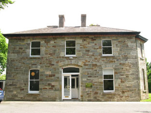 The Old Rectoryrectory/glebe/vicarage/curate's house · 714 yd
 Catholic Church of Our Lady and Saint Johnchurch/chapel · 773 yd
 Ballea CastleCastle, tower house · 1704 yd
 Cogan's CastleCastle · 1.2 mi
 Pauper's GraveyardArchaeological place · 2.4 mi
 Graveyard in CurraghconwayGraveyard · 4.3 mi
 Be Framed Fine Art GalleryGallery · 4.4 mi
 Goat IslandIslet · 4.6 mi
 St Laitiarain's WellSpring · 4.8 mi
 Vernon Mount ViewViewpoint · 4.8 mi